Drone Photogrammetry
Photorealistic digital assets for enhanced visualisation
What Is Drone Photogrammetry?
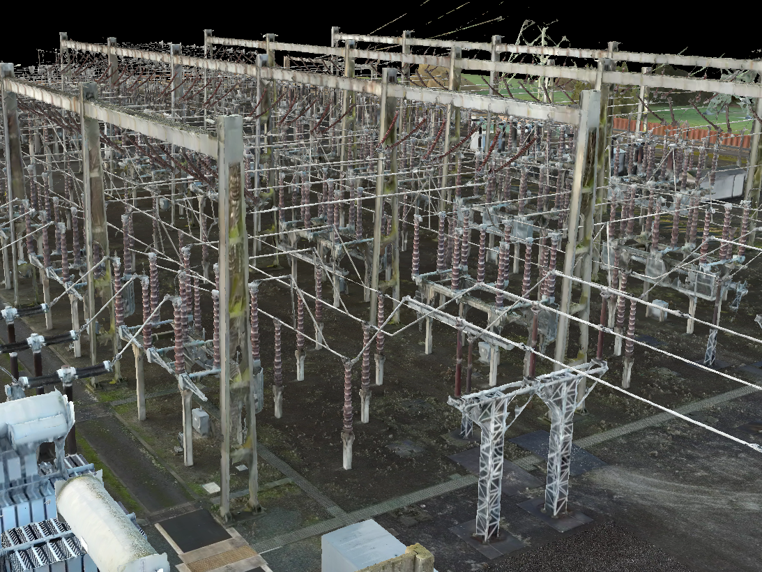
Want to create photorealistic replicas of your site, like this ultra-detailed 3D model? Then choose drone photogrammetry.
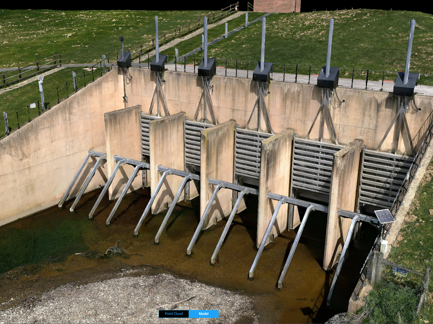
Drone photogrammetry uses UAVs to capture aerial images of an area or object to create precise and detailed maps and models.
Overlapping photographs of the survey area are taken from multiple angles, and then specialist software analyses the images, identifies common points, and triangulates their positions in 3D space.
Drone Photogrammetry: Benefits
High-Resolution Data: Drones can fly at low altitudes and be equipped with quality cameras to capture high-resolution images that provide detailed and accurate 3D models and maps.
One Complete Dataset: View your survey area as one complete map or model, instead of a collection of images.
Precise Calculations: Use datasets for precise measurements, calculations, and annotations.
Rapid Data Acquisition: Drones cover large areas quickly, significantly reducing the time needed for data collection compared to traditional ground-based methods.
Cost-Effectiveness: Using drones is often more economical than traditional aerial surveys conducted with manned aircraft, especially for small to medium-sized projects.
Accessibility And Safety: Drones can easily access hard-to-reach or hazardous areas - where it might be dangerous or impossible for surveyors to go.
High-frequency Data Collection: Conduct more frequent surveys and automate flight routes for consistent data collection over time.
Integration With Other Technologies: Data collected by drones can be integrated with other geospatial data and technologies such as GIS, CAD, and BIM, enhancing the overall analysis and application of the data.
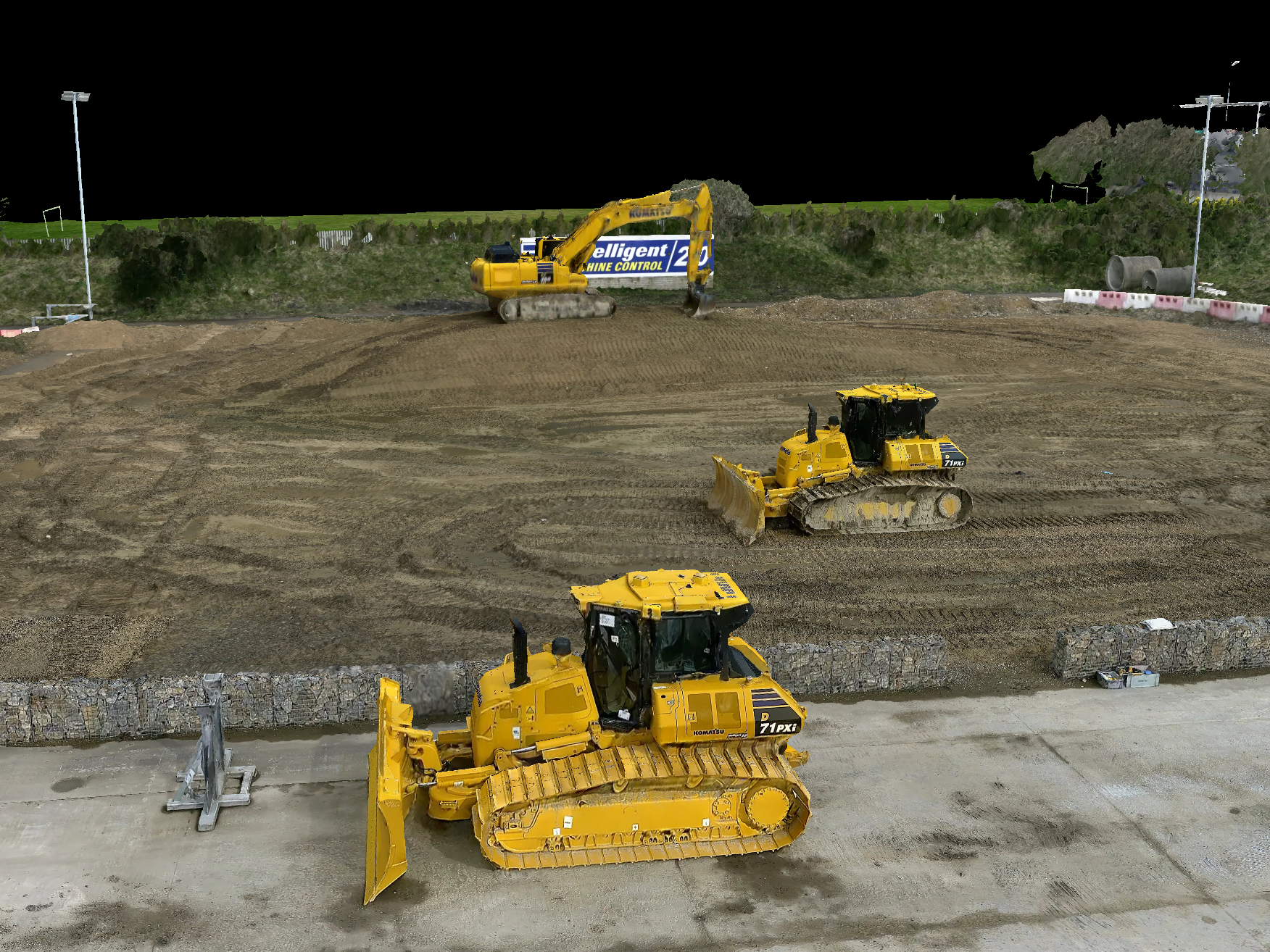
Drone photogrammetry: Outputs & Deliverables
Drone photogrammetry generates several types of outputs:
Orthomosaic: High-resolution, georeferenced 2D map, providing a detailed and accurate representation of the terrain
/objects from above. Ideal for comparing as-built models with as-planned blue-prints, resource monitoring, and construction progress tracking.
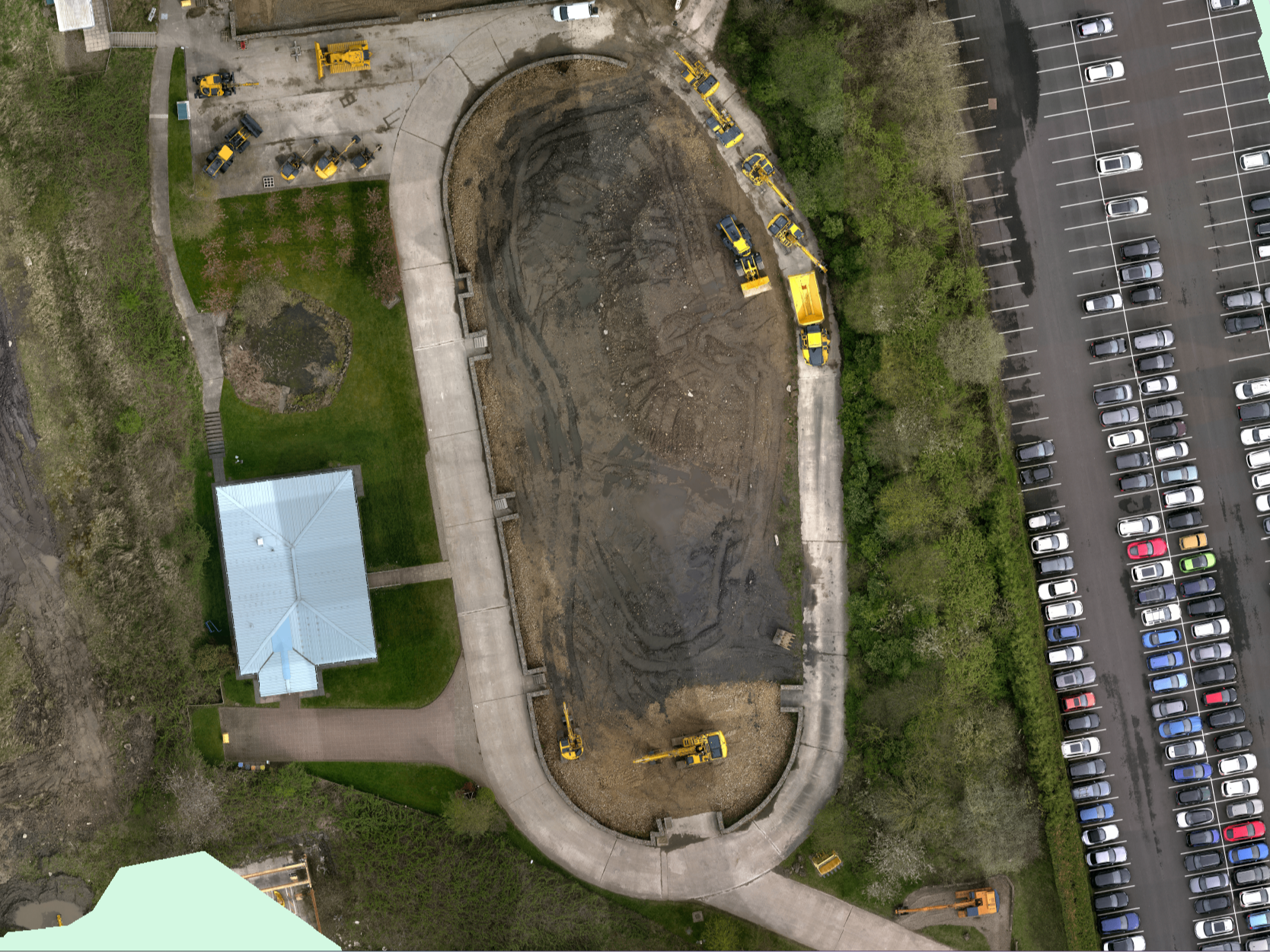
Digital Surface Model (DSM): 3D representation of the Earth's surface, including terrain features and objects. DSMs are useful for forestry, urban planning, and mining.
Digital Terrain Model (DTM): Represents only the bare ground surface without any objects like buildings or vegetation. Useful for terrain analysis, hydrological modeling, and urban planning.
Point Cloud: Set of data points in 3D space, representing the surface of objects or terrain features. Each point corresponds to a specific location and may include additional information such as colour and intensity.
3D Textured Mesh: A true-to-life digital representation of the survey subject. 3D meshes are used for enhanced visualisation and analysis. They can be used for volume calculations, site planning, and inspection, as well as CAD and BIM-related purposes.
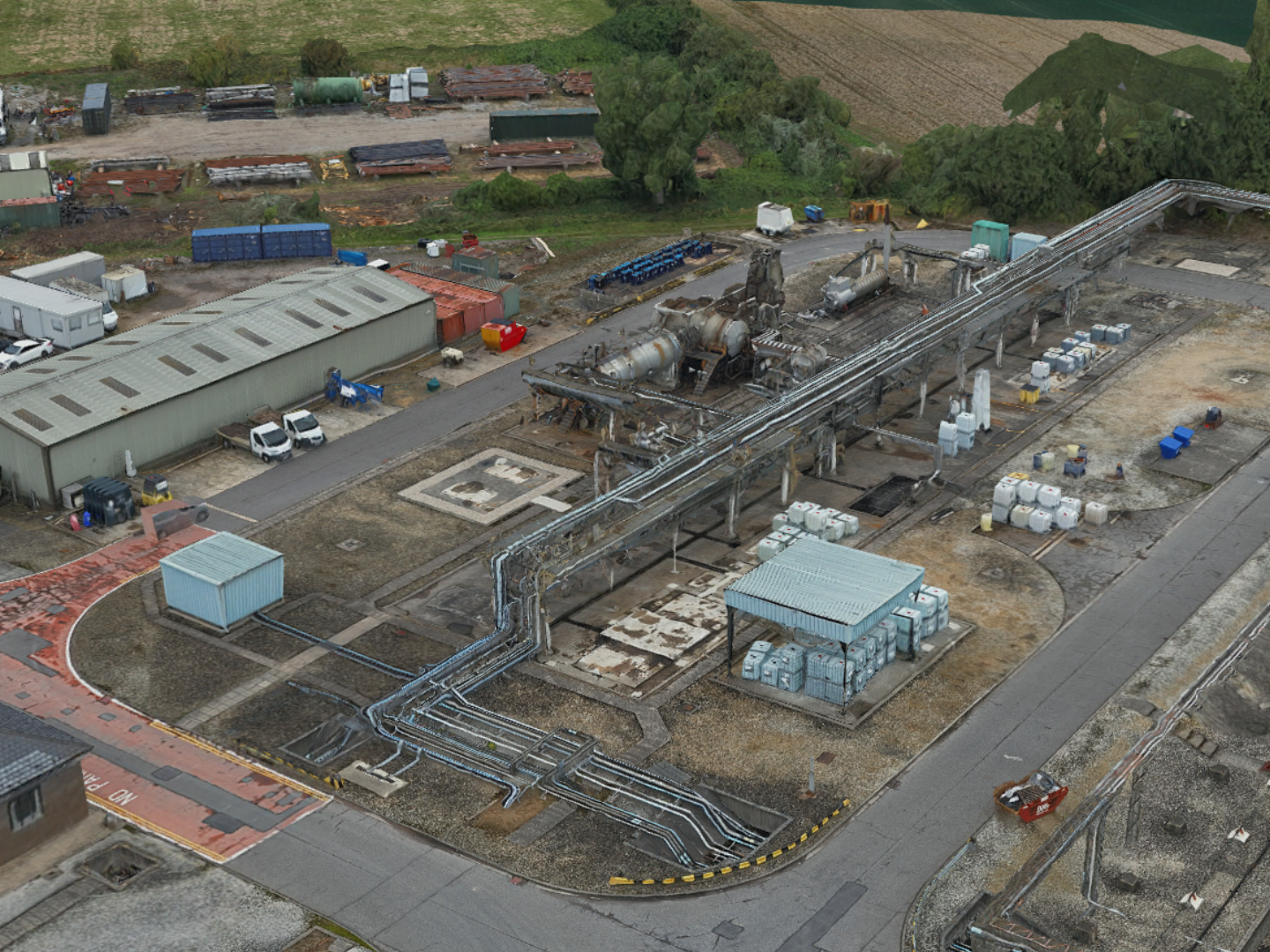
Industry Uses For Drone Photogrammetry
Construction: Progress monitoring, as-built documentation, and stockpile measurements. Aids project planning, design, and construction management.
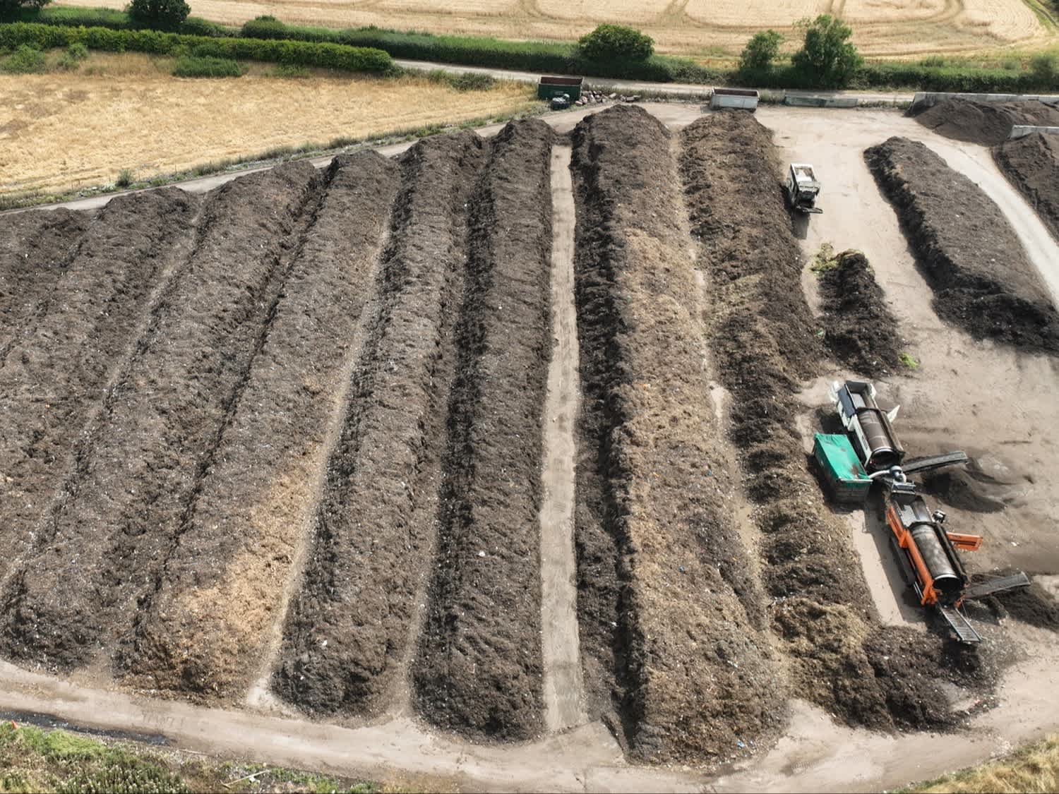
Mining and Quarrying: Stockpile volumetric analysis, topographic mapping, and site monitoring. Assists in resource and inventory management and planning.
Urban Planning: Accurate 3D models and maps of urban areas assist with zoning analysis, infrastructure and land use planning, and disaster risk management.
Disaster Management: Rapid and detailed information for damage assessment, decision-making, and resource allocation during emergencies.
Utilities: Used to prepare for maintenance work and repairs before engineers arrive on site.
Public Safety: Crash-scene investigation, crime-scene reconstruction, and evidence gathering.
Best Drones For Photogrammetry
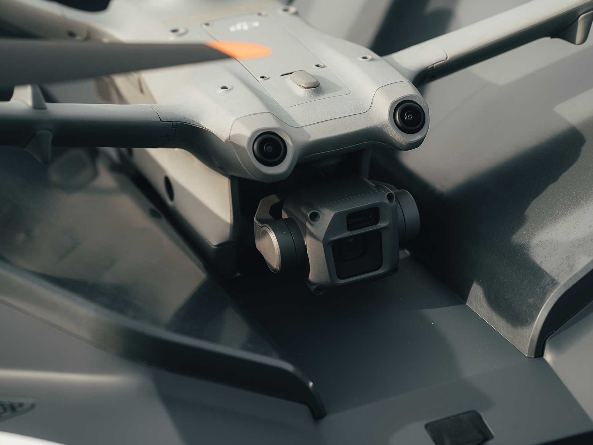
DJI M350 RTK: The DJI M350 RTK is an upgraded flagship drone platform, with multi-payload support, IP55 rating, and enhanced safety systems. For photogrammetry, pair with the 45MP full-frame P1 camera; the Share UAV 203S Pro 225 MP camera; or the oblique Share UAV PSDK 102S V3.

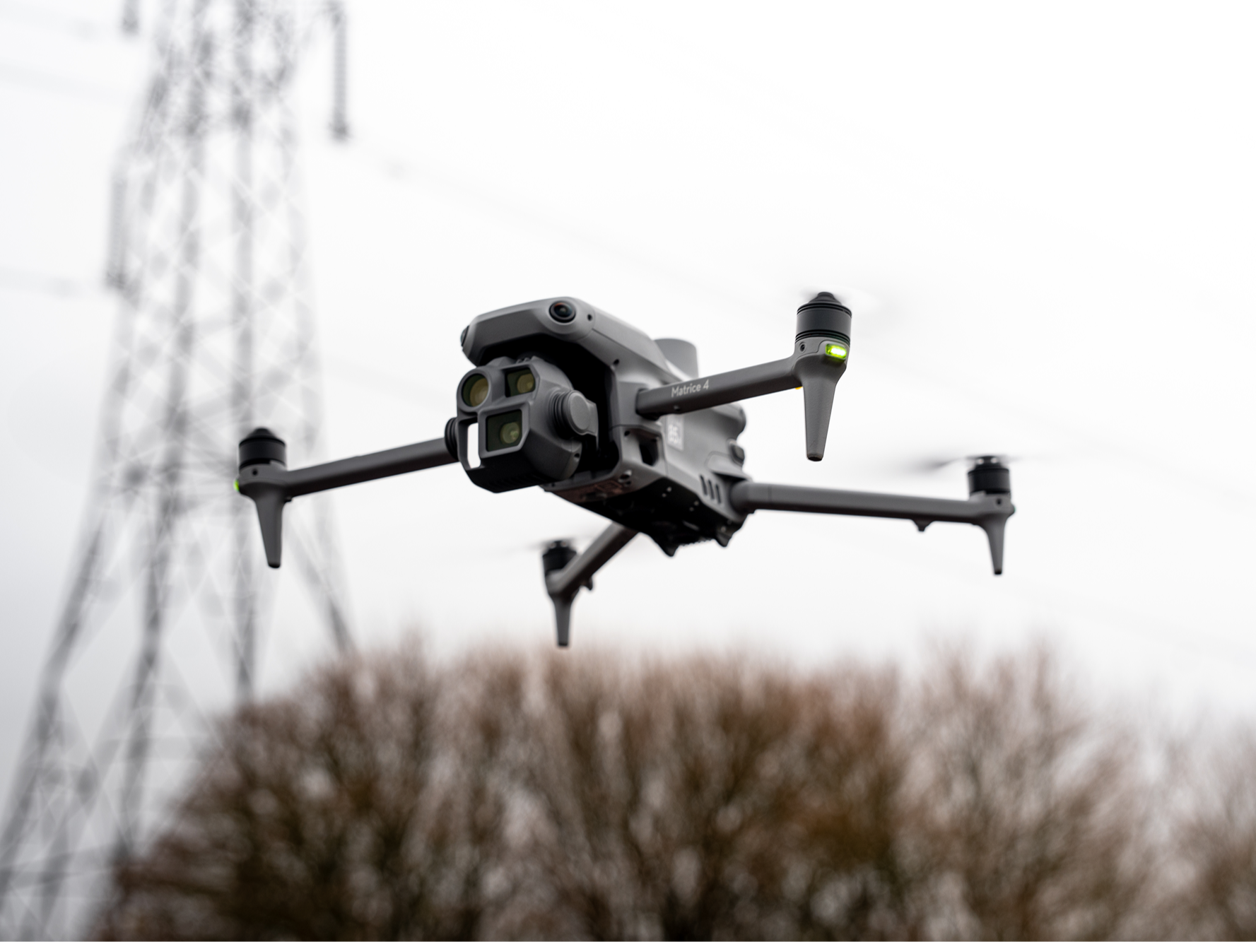
DJI Matrice 4 Enterprise: The DJI Matrice 4 Enterprise is a next-gen portable surveying drone, with key upgrades on the DJI Mavic 3 Enterprise. It features a 4/3 CMOS sensor with a rapid 0.5s shooting interval, supports 5-directional oblique capture, has AI capabilities, and has a maximum flight time of 49 minutes.
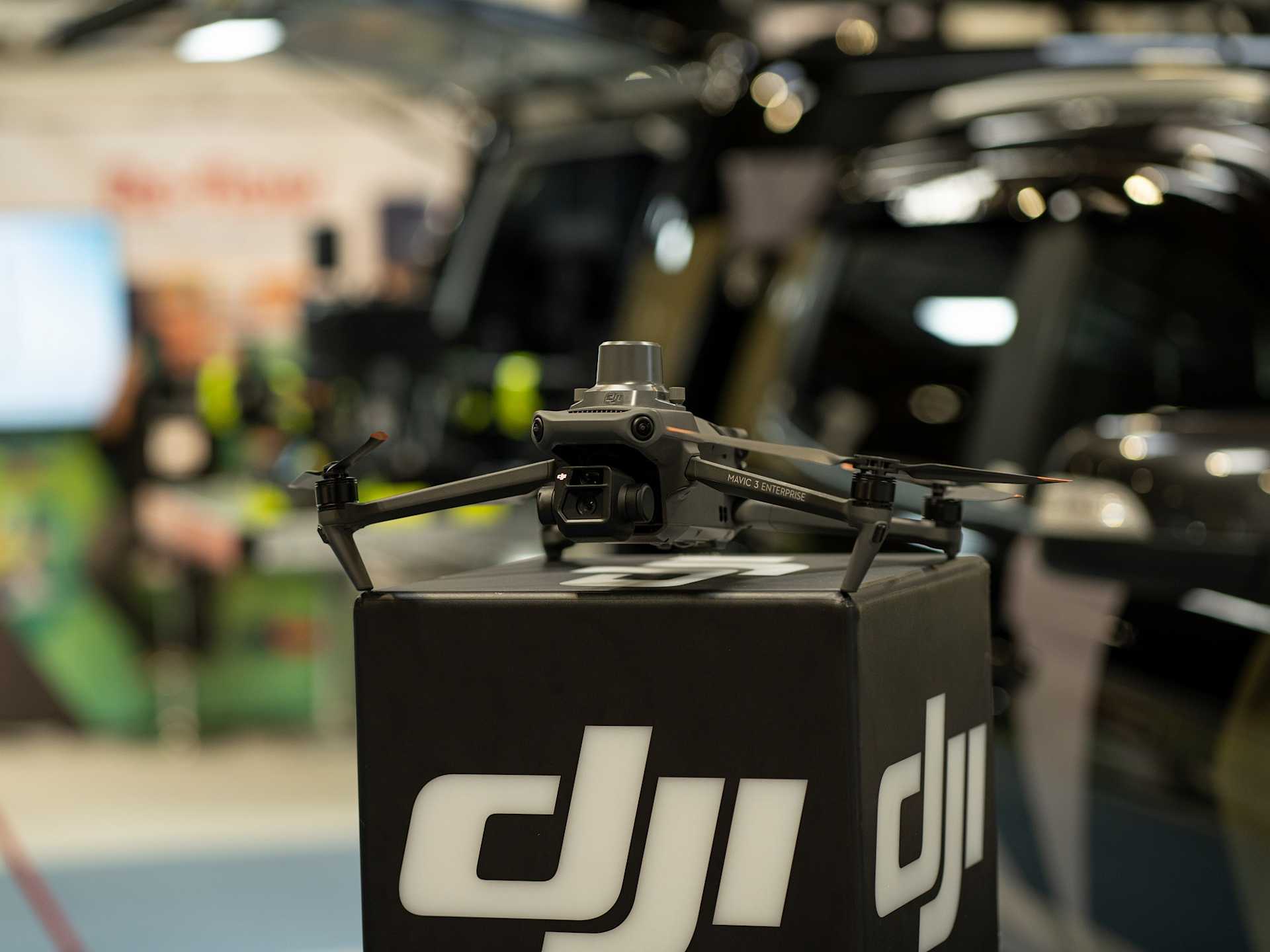
DJI Mavic 3 Enterprise: The DJI Mavic 3 Enterprise is a foldable, compact, and lightweight photogrammetry drone. It has a 4/3 CMOS sensor with mechanical shutter, plus a Tele camera with 56x hybrid zoom. Its 45 minutes of flight time aids survey efficiency, while the optional RTK module achieves centimetre-level positioning.
Automated Drone Photogrammetry
Drone-in-a-box solutions, such as the DJI Dock ecosystem, empower automated and remote drone photogrammetry workflows.
This enables teams to collect survey-grade data round-the-clock, on-demand, and automatically process it in the cloud.
DJI Dock 3 and DJI Dock 2 come with drones engineered for precision mapping, providing a dedicated drone-in-a-box surveying solution.
Best Drone Photogrammetry Software
DJI Terra: DJI Terra is a 3D model reconstruction software that has photogrammetry as its core technology, supporting accurate and efficient 2D and 3D reconstructions.
DJI Modify: DJI's intelligent 3D model editing software, DJI Modify, can be sued to remove floating parts, conduct flattening, texture repair, and hole filling. Use with DJI Terra for a seamless model editing workflow.
FlightHub 2: Particularly powerful when used with DJI Dock 2: Use DJI FlightHub 2 to plan and conduct flights remotely and utilise Cloud Mapping, which automatically generates precise 3D models once the drone returns to the Dock.
Esri SiteScan: Esri SiteScan is an end-to-end, cloud-based drone mapping software. Plan flights, produce detailed reconstructions, and conduct fleet management.
Improving Drone Photogrammetry Accuracy
Photogrammetry accuracy can be significantly enhanced using various techniques and technologies, including:
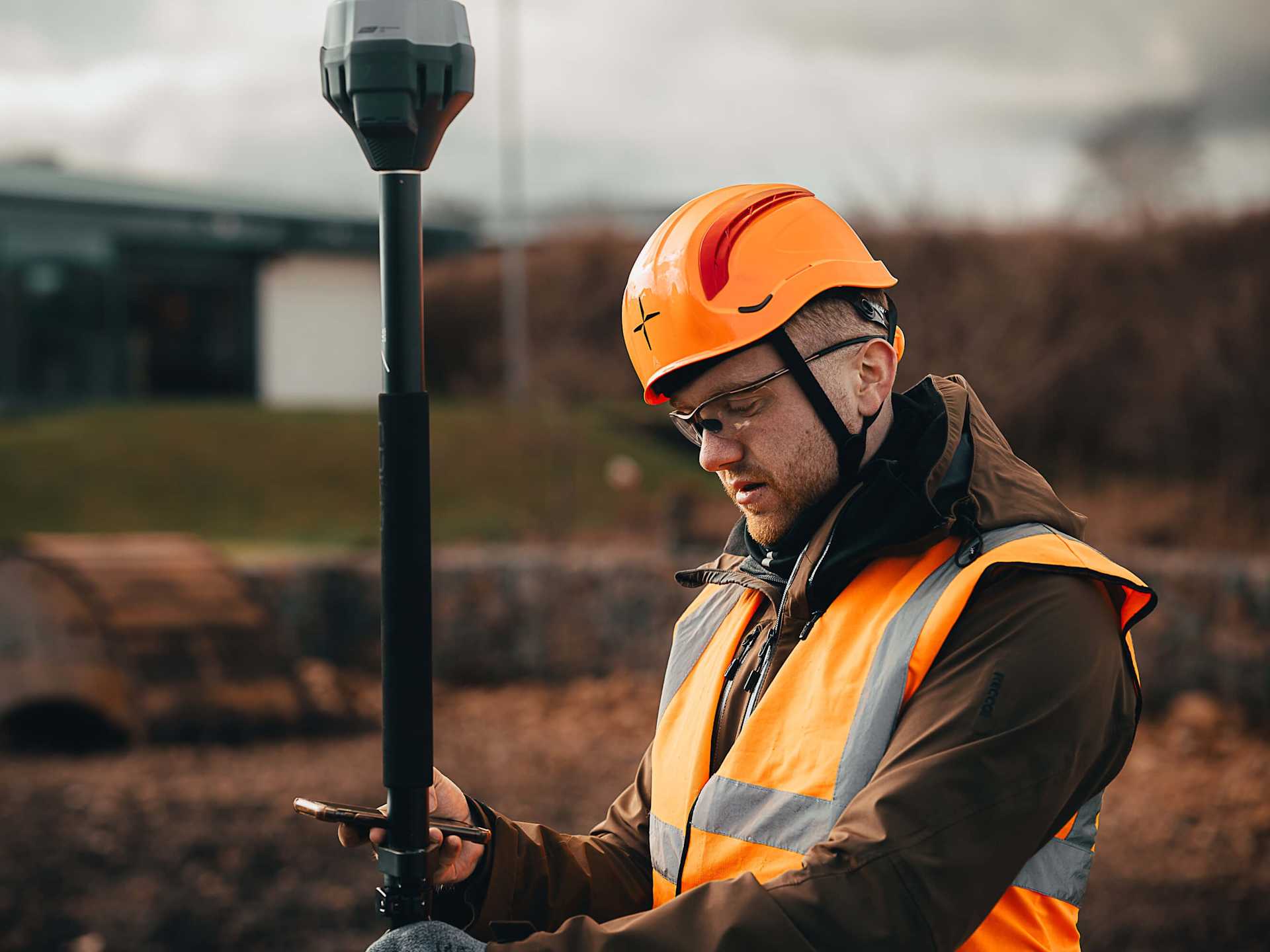
Real-Time Kinematic (RTK) and Post-Processing Kinematic (PPK): These techniques improve positional accuracy by correcting GNSS data in real-time (RTK) or during post-processing (PPK).
Ground Control Points (GCPs): Placing well-surveyed points on the ground within the survey area helps in aligning and scaling the photogrammetric model accurately.
GNSS Receivers: High-precision GNSS receivers, such as those in the Emlid ecosystem, provide accurate georeferencing data for aerial imagery, crucial for precise photogrammetric outputs.
Drone Photogrammetry: Case Studies
1: Heritage Conservation
This highly-detailed model, captured using the DJI P1, is a replica of an at-risk 15th century gatehouse in Northumberland, England.

Experts used the model to shape maintenance plans and for heritage asset documentation.
The drone photogrammetry survey was completed in less than a day and offered a safe, cost-effective and more senstive method of collecting data, especially for accessing hard-to-reach areas of the structure.
The high-resolution model was particularly useful for up-close inspection, providing rich detail of each part of the structure.
2: Construction
Balfour Beatty VINCI will save an estimated £5m over 5 years by using drones on the HS2 development - Europe's largest infrastructure project.
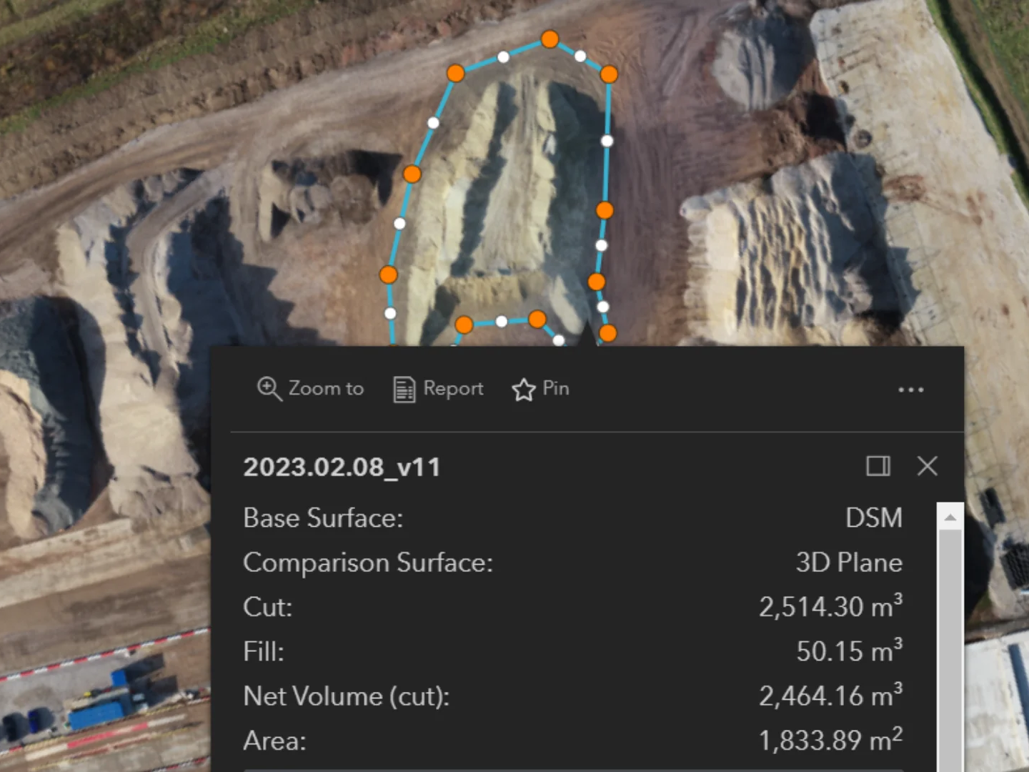
Using the DJI Mavic 3 Enterprise, BBV obtained high-res 2D maps for regular progress monitoring. The company also streamlined stockpile measurements: Drones taking 10-20 minutes, compared to at least half-a-day using alternative methods.
BBV also:
Cut drone surveying times by more than 50% by upgrading to DJI Mavic 3 Enterprise.
Obtained 20-25mm accuracies, without GCPs, by deploying the M3E.
Removed 800 'working at risk' days by deploying drones.
How heliguy™ Supports Your Drone Surveys
In-house geospatial specialists offering consultancy, proof of concept, equipment supply, and drone survey training.
Drone Assistive Programme: Our specialists can attend your site to help you collect real-world data to help you learn on the job.
Obtain your permissions to fly your drone with the support of our 10-strong training team.
Access the UK's largest drone rental fleet to access equipment on-demand, only when you need it.
Leverage support from our in-house DJI-approved repair centre, should something go wrong with your equipment or you crash your drone.