Drone Surveying Payloads
High-precision mapping data
- Payloads
- Gimbals & Connectors
- Lenses
Drone Survey Payloads for Accurate Aerial Mapping
Precision sensors for geospatial, infrastructure and environmental data capture
Heliguy’s Drone Survey Payloads collection includes industry-leading solutions for accurate mapping, 3D modelling, and geospatial data capture across construction, land management, and infrastructure sectors.
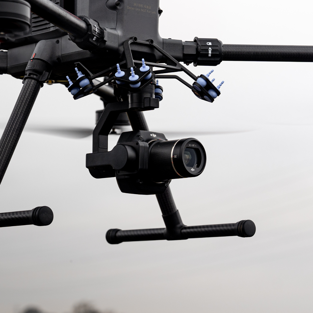
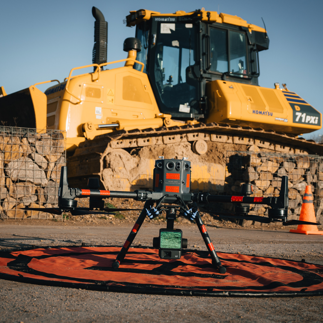
Zenmuse L2 enhances LiDAR workflows with greater accuracy, extended range, and built-in RGB imaging for detailed mapping. For high-resolution photogrammetry, Zenmuse P1 captures 45MP full-frame imagery and supports multiple interchangeable lenses.
Share UAV’s 203S Pro integrates LiDAR and high-resolution imaging to produce detailed 3D models, while the PSDK 102S V3 uses a five-lens array to streamline large-area data capture in a single flight. Zenmuse L1 offers a compact, all-in-one solution with integrated LiDAR, GNSS, and visual sensors – ideal for versatile, real-time 3D data collection.
All these payloads integrate seamlessly with DJI enterprise platforms and leading mapping software, offering scalable solutions for high-accuracy aerial surveys.

Survey Payloads Backed by Heliguy’s Geospatial Expertise
Specialist payload support, expert guidance & reliable UK service
When you choose your survey payloads through Heliguy, you receive expert guidance, dependable service, and full operational support tailored to your mapping goals:
Sensor selection support: Advice on choosing between photogrammetry, LiDAR, and multi-sensor systems for your specific project.
Workflow integration: Assistance with flight planning, data capture, and post-processing using DJI Terra and third-party tools.
UK-based servicing: Authorised maintenance and diagnostics for DJI and compatible third-party payloads.
Survey training: In-house instruction covering best practices for LiDAR, GCPs, RTK workflows, and flight setup.
Fast UK delivery and support: Stock held locally and backed by Heliguy’s dedicated survey and technical teams.
From land mapping to infrastructure inspection, Heliguy ensures your payloads are deployed effectively and supported throughout every stage of your survey operation.
