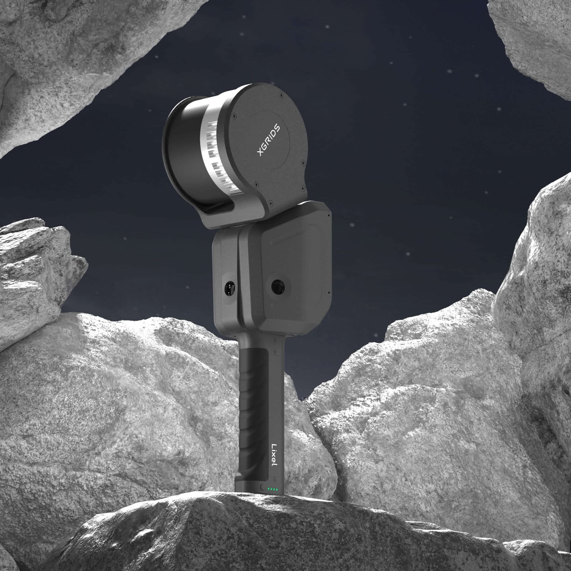
XGRIDS Lixel L2 (32 Channel)
XGRIDS Lixel L2 (32 channel) is a flagship 3D scanner for on-the-go mapping. It transforms the efficiency and quality of 3D modelling.
True-colour Point Clouds Powered by a multi-SLAM algorithm, Lixel L2 delivers real-time true-colour point cloud models with cm-level accuracy. It has a 300m scan range and can scan 640,000p/s.
Versatile XGRIDS Lixel L2 can be drone-mounted to the DJI M350/M300 RTK.
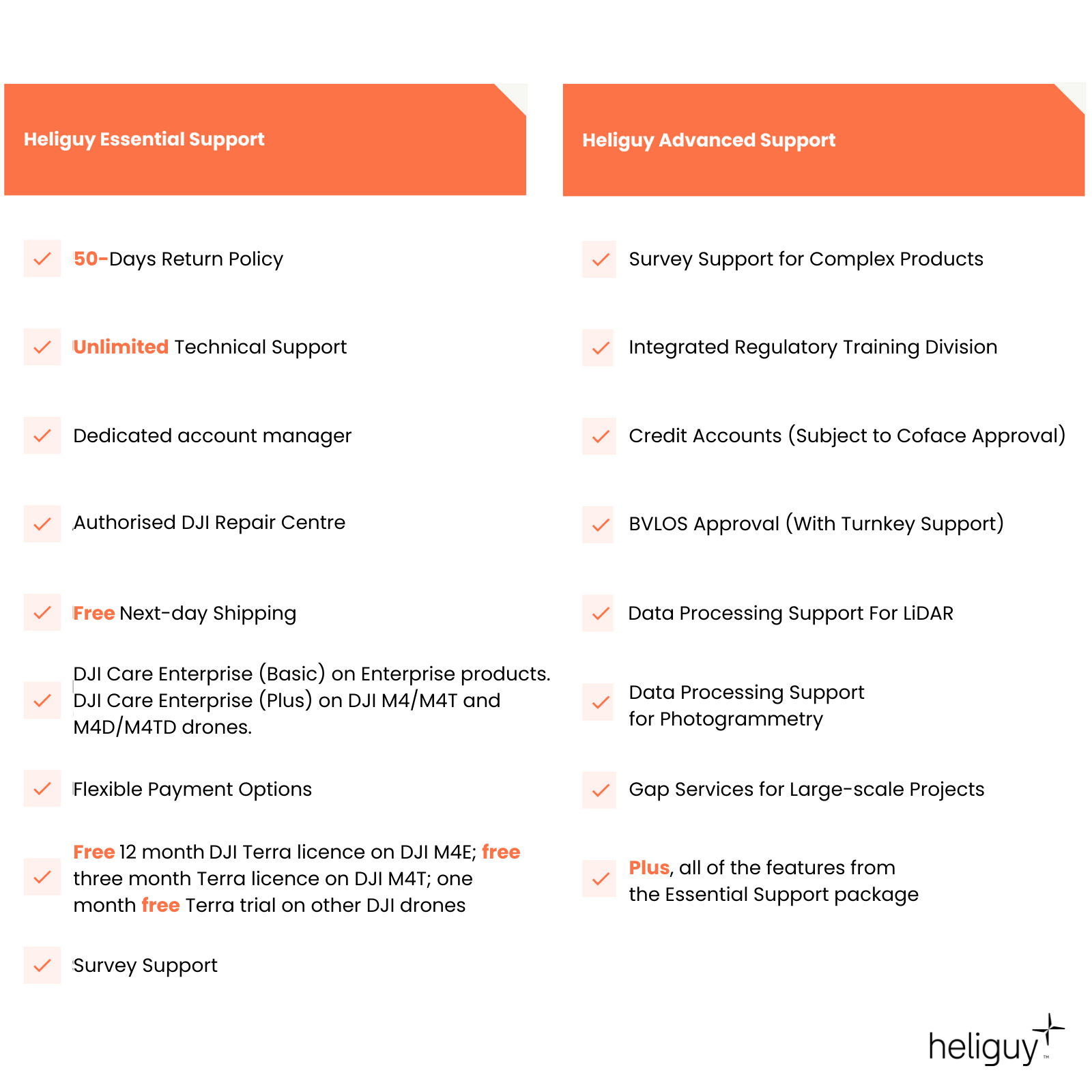
Survey Support Access the support of our in-house survey specialists to integrate the Lixel L2 into your operations and for end-to-end workflow advice.
- Overview
- Contents
- Specifications
- Support
- FAQ
- Heliguy Services
Quality Data On The Go
Vividly Recreate Real-World Enviroments
Detailed Data: Lixel L2-32 has a 300m scan range and can scan 640,000p/s, yielding a broader scanning perspective and upgraded point-cloud quality.
True-colour Point Clouds: Generate true-colour point clouds that vividly replicate real-world environments.
Real-time Outputs: Real-time outputs and preview consistency enable you to see reconstruction results and directly generate .las models.
Complex Operations: Multi-SLAM algorithm ensures wide compatibility across scenarios and enables excellent performance in complex and indoor environments. Newly-added RTK enhances real-time calculations.
High Accuracy: 1.2cm relative accuracy; 2cm repeat accuracy; 3cm absolute accuracy; and 0.015° horizontal accuracy.
Quality Data: Point cloud thickness within 1cm; Significant reduction in noise points; Even and delicate point clouds for more accurate measurements.
Industry Applications
Versatile 3D Scanning for the World of Work
Mapping And Surveying: Real-time scanning and modelling hardware and software reshape the survey and mapping process, improving efficiency in and out of the field. Benefit from real-world 3D, land-air fusion, and DEM/DSM generation.
Smart City: Realise digital management in the city lifecycle. Map above and below ground and collect data for grid management, urban renewal, and CIM/BIM.
Emergency Security: Quickly-generate on-site 3D models for rapid and real-time feedback of the situation, providing data support for emergency command.
Energy And Mining: Digitise the mining and utilities sector. Digital mining, stockpile measurement, and power inspection.
XR/Robotics: Real-time spatial maps for overall spatial perception and instant localisation.
Metaverse: Create a personalised Metaverse experience for Metaverse interaction and management solutions.

LixelStudio
Intelligent 3D Processing Software
One-stop Processing Services: Developed by XGRIDS, LixelStudio provides viewing, editing, and one-stop processing services for laser point clouds and other data.
Massive Data Loading: Load large point clouds simultaneously, with no pressure on clipping, measuring, and rendering.
Data Vectorisation: CAD, BIM, 3D white model, and other data can be more compact and user-friendly.
AI Spatial Understanding: Monolithic and semantic segmentation, and dynamic object removal help with space information.
Industry Plugins: Abundant and expandable plugins meet the data needs of various industries.
Remote Sync: 5G network for real-time viewing and downloading enables remote operations.
Complementary Software: LixelStudio is included in the cost of the Lixel L2.

LixelGo App
Simplified Control
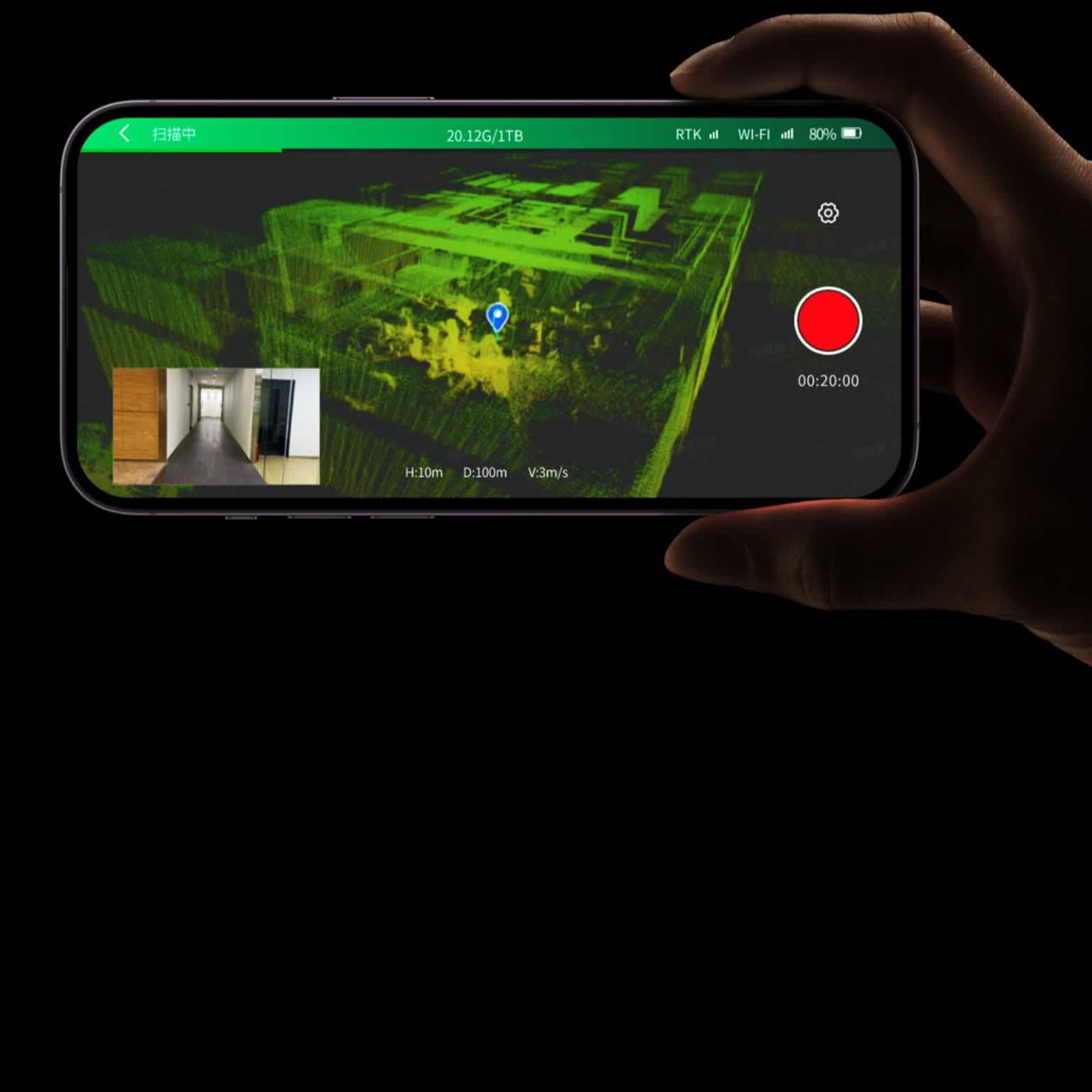
Companion App: LixelGO is a companion app for your XGRIDS scanner, enabling easy control and one-click operation via a mobile phone, facilitating on-the-go mapping. At this time, the LixelGo App only supports Android devices.
Real-time Insights: View camera images, elevation information, and true-colour point clouds in real-time to avoid missing or incorrect data collection.
Status Updates: The app displays a range of status information, such as battery power, network, memory, and range. Also control RTK settings and breakpoint rescan.
Accreditation
![UK CAA Recognised Assessment Entity (RAE)]()
UK CAA Recognised Assessment Entity (RAE)
Authorised GVC/A2 CofC Training Courses
![UK CAA Permission for BVLOS Flights: Operational Authorisation UAS 15435]()
UK CAA Permission for BVLOS Flights: Operational Authorisation UAS 15435
Helping companies unlock BVLOS missions in an AAE with DJI Docks
![The UK's only DJI Gold and S-Level Partner]()
The UK's only DJI Gold and S-Level Partner
Trusted supply on DJI products
![ISO 9001 Certification]()
ISO 9001 Certification
Driving industry standards through robust operational protocols for enhanced safety and reliability
![Training Qualifications UK]()
Training Qualifications UK
Accredited training courses endorsed by TQUK.
![Ofqual-regulated Training]()
Ofqual-regulated Training
Recognised quality mark for meeting accreditation criteria.
![Cyber Essentials]()
Cyber Essentials
Verified data security
![Financial Conduct Authority]()
Financial Conduct Authority
Authorised to conduct regulated financial services
![Armed Forces Covenant Defence Employer Recognition Scheme - Silver Award]()
Armed Forces Covenant Defence Employer Recognition Scheme - Silver Award
Proud supporter of our Armed Forces
![D-U-N-S Registered: 77-916-1210]()
D-U-N-S Registered: 77-916-1210
Verified to conduct international business
