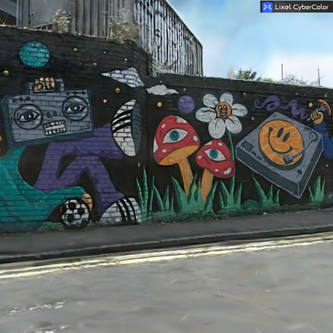
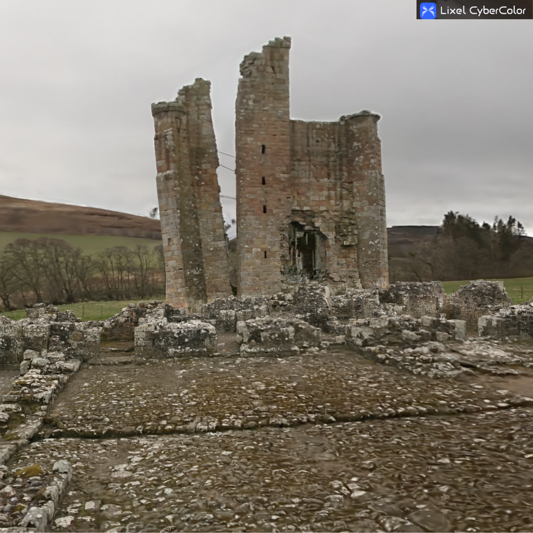
XGRIDS Lixel Cyber Color (LCC)
The Lixel Cyber Color studio (LCC) is a cutting-edge solution for generating photorealistic 3D models, combining Multi-SLAM and 3DGS technologies for advanced visualisation.
Designed for complex scenarios, it delivers immersive 3D experiences across spatial computing devices and integrates seamlessly with 3D software and platforms, supporting application development and enhanced digital interaction.
heliguy™ is an XGRIDS partner and our in-house surveying team can help you integrate LCC, as well as XGRIDS scanners, into your workflows.
Basic and Premium packages are available for LCC. Click the 'Have A Question' button above to contact us to learn more about pricing and the best option for you.
- Overview
- Specifications
- FAQ
- Heliguy Services
SLAM and Gaussian Splatting for Advanced 3D Models
SLAM-Based Software for Fast, Photorealistic 3D Creation
Photo-realistic Modelling For Reality Capture: Create stunning and large-scale 3D models, ideal for AEC, gaming, AR and VR, real estate, and inspection.
High-Accuracy Measurements: The LCC studio provides centimetre-level accuracy for detailed, interactive 3D models, enabling precise measurements and annotations.
Mobile Scanning Flexibility: Adapt seamlessly from indoor to outdoor scenarios, incorporating map and aerial-ground data fusion for comprehensive spatial coverage.
Streamlined Data Compression: Reduces file sizes by up to 90% to simplify storage, transmission, and cross-platform streaming.
Cross-Platform Compatibility: Supports rendering on cloud, edge, and various platforms, ensuring smooth integration into different workflows.
Enhanced Developer Ecosystem: Offers robust compatibility with spatial computing devices, Unity, Unreal, WebGL, VR headsets, and mini-programs, empowering developers with advanced tools and flexibility.

Next-Level Technical Efficiency with LCC Studio
Breakthrough processing, enhanced accuracy, and effortless publishing.
Rapid Processing: Fully automated generation of 3D models from 10 minutes of scanning data in approximately 100 minutes.
Space Efficiency: Drastically reduced file sizes—up to 12% of traditional output storage requirements.
Advanced Measurements: Pro Measurements provide precise offsets and higher accuracy for refined spatial analysis.
Enhanced Map Fusion: Seamlessly combines aerial drone imagery with ground-based spatial data, stitching multiple segments into cohesive, detailed environments.
HD Enhancement: Allows secondary data captured using additional devices like DSLR or smartphone cameras. This significantly enhances visual accuracy and realism for critical details in large-scale scenes.
Effortless Publishing: Cloud-based publishing with custom URLs and flexible access controls for seamless sharing.

Tailored Solutions for Industry-Specific Needs
The LCC platform delivers comprehensive, targeted capabilities for a range of professional sectors.
Architecture & Construction: Detailed as-built documentation paired with highly accurate measurement tools.
Real Estate: Interactive virtual tours with seamless spatial transitions and embedded notes.
Industrial Digitisation: Full digital twins optimised for improving operational efficiency.
Facility Inspection: Precise documentation supporting maintenance planning and regulatory compliance.
Robotics & Embodied AI: Spatial intelligence for enhanced navigation and environment recognition.
Cultural Heritage: High-fidelity digitisation for preserving and virtually exploring historic sites.
Entertainment & Gaming: Authentic environmental assets for immersive production.
Education: Immersive spatial environments providing rich learning contexts.

Flexible Licensing for Every Business Need
Two-tiered structure offering essential functionality and advanced tools.
Basic Version | Premium Version |
|---|---|
Model generation, viewing, editing, and navigation. Measurement and recording features for streamlined operations. | Advanced spatial recognition and HD enhancement tools. Revit plugin integration (available April 2025). Developer SDK package for custom solutions. Aerial-ground map fusion capabilities. Comprehensive spatial analysis tools. |

Accreditation
![UK CAA Recognised Assessment Entity (RAE)]()
UK CAA Recognised Assessment Entity (RAE)
Authorised GVC/A2 CofC Training Courses
![UK CAA Permission for BVLOS Flights: Operational Authorisation UAS 15435]()
UK CAA Permission for BVLOS Flights: Operational Authorisation UAS 15435
Helping companies unlock BVLOS missions in an AAE with DJI Docks
![The UK's only DJI Gold and S-Level Partner]()
The UK's only DJI Gold and S-Level Partner
Trusted supply on DJI products
![ISO 9001 Certification]()
ISO 9001 Certification
Driving industry standards through robust operational protocols for enhanced safety and reliability
![Training Qualifications UK]()
Training Qualifications UK
Accredited training courses endorsed by TQUK.
![Ofqual-regulated Training]()
Ofqual-regulated Training
Recognised quality mark for meeting accreditation criteria.
![Cyber Essentials]()
Cyber Essentials
Verified data security
![Financial Conduct Authority]()
Financial Conduct Authority
Authorised to conduct regulated financial services
![Armed Forces Covenant Defence Employer Recognition Scheme - Silver Award]()
Armed Forces Covenant Defence Employer Recognition Scheme - Silver Award
Proud supporter of our Armed Forces
![D-U-N-S Registered: 77-916-1210]()
D-U-N-S Registered: 77-916-1210
Verified to conduct international business


