Rental XGRIDS L2 Pro (32 Channel 120m)
Please book your rental online at least 48 hours in advance. If you require it sooner, kindly call us
Rent the XGRIDS Lixel L2 Pro - a precision handheld scanner for reality capture and true-colour point cloud generation.
XGRIDS Lixel L2 Pro Features a rotating LiDAR scanner, dual 48MP panoramic camera, high-precision IMU, and multi-SLAM technology. This version of the L2 Pro (32 Channel) captures 640,000 pts/s and has a 120m scan range.
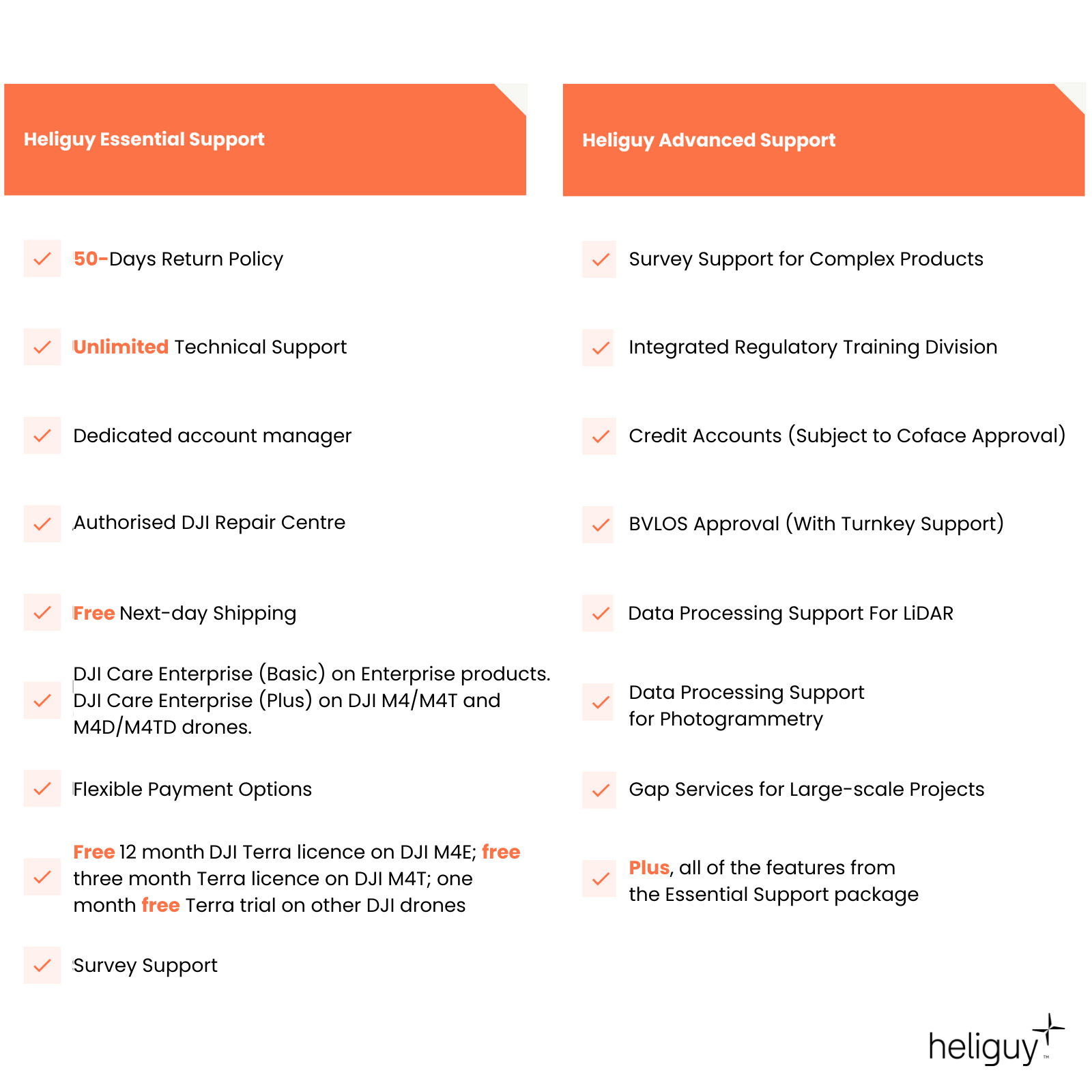
In-house Survey Support Access advice from our geospatial specialists to help you maximise your handheld scanning workflows with the XGRIDS Lixel L2 Pro.
Rental Benefits Hiring this handheld scanner is more cost-effective than an outright purchase and enables you to access it only when you need to.
What Do I Need To Book A Rental?
Provide us with some key documents - then enjoy your hire
Insurance
Insure your rental under a Hired-in (non-owned) equipment cover policy - to the full cost value of the equipment and for the duration of your hire period.
Proof of ID
After check-out, we'll ask for a copy of your passport or driving licence, plus a utility, bank, or council tax statement matching your name/delivery address.
Flyer ID
If you hire a drone from heliguy™, you also need a valid Flyer ID and Operator ID. We don't require proof of drone registration or training (A2 CofC/GVC).
Overview
Contents
Specifications
Support
Rental Process
FAQ
Heliguy Services
Lixel L2 Pro Key Features
Versatile handheld laser scanner
Fully-Integrated: This all-in-one sensor features a rotating LiDAR module, dual 48MP panoramic cameras (removing the need for external cameras), high-precision 6DOF IMU, and multi-SLAM to maximise performance.
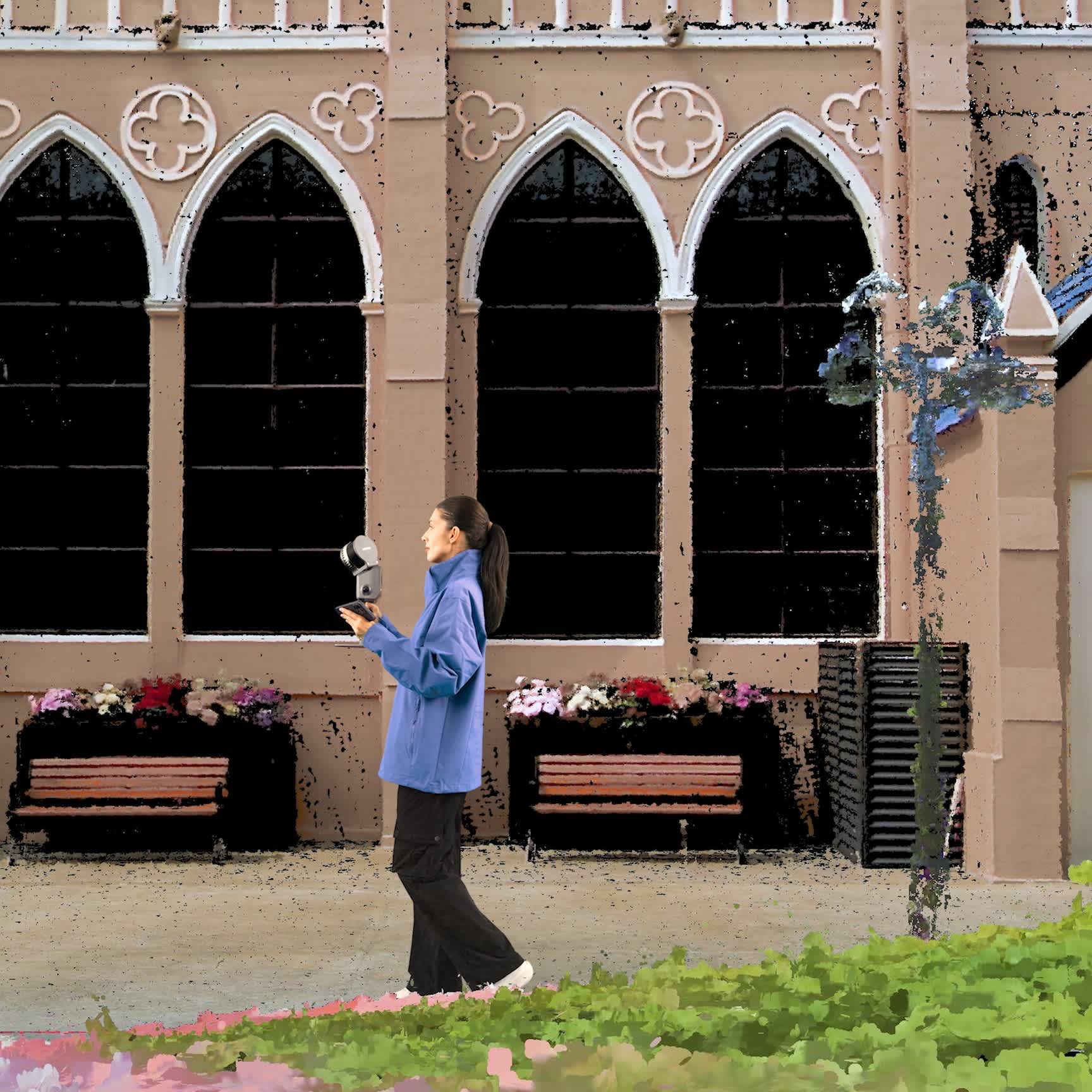
Reality Capture: Use with Lixel CyberColor to create Gaussian Splats for reality capture.
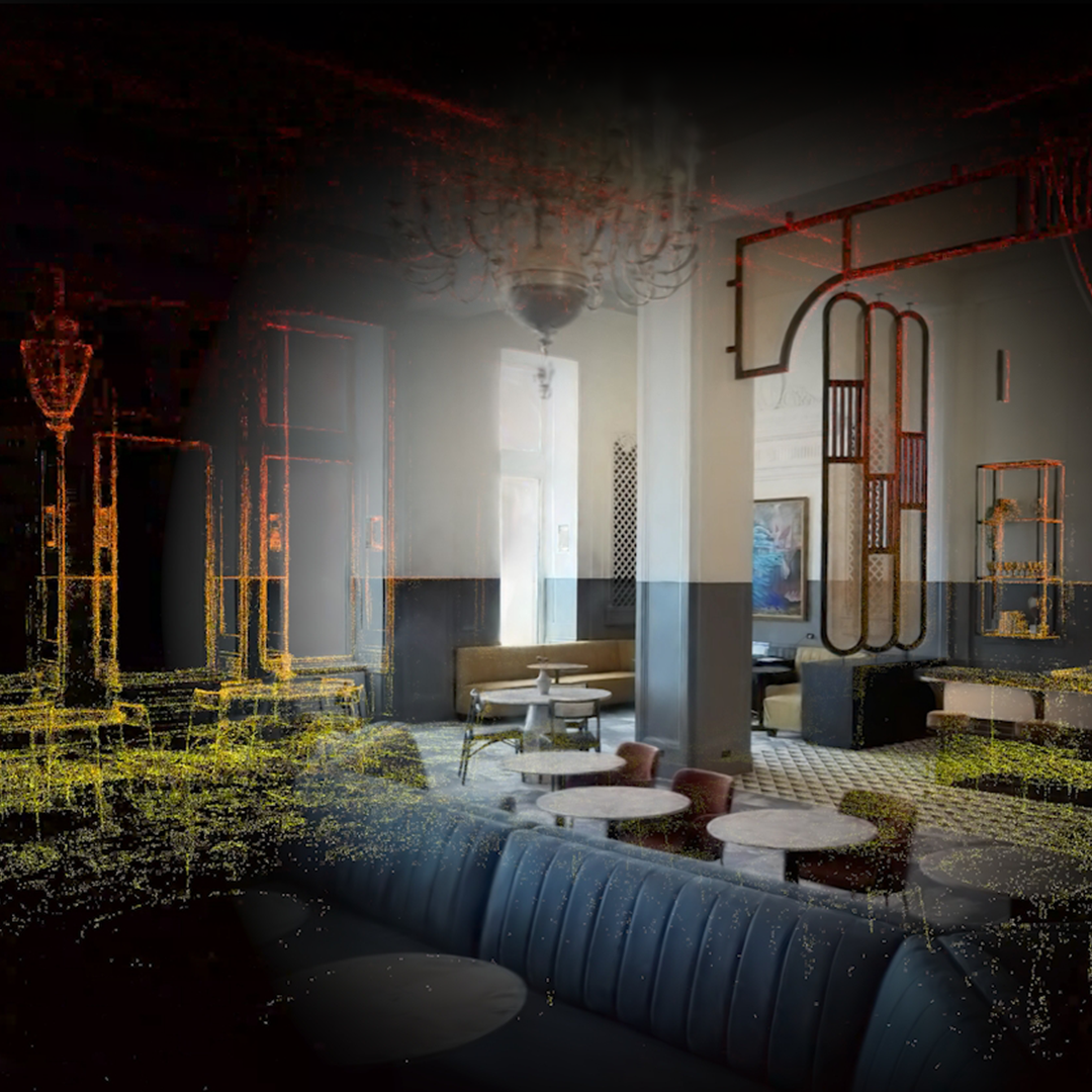
Real-time True-colour Outputs: Obtain photo-quality true-colour point clouds in real-time. These real-time outputs rival other sensors' post-processing quality.
Dense Point Clouds: 1 million points/㎡ with 1mm spacing for dense point clouds and 5mm point cloud thickness for more accurate mapping and line drawing.
Map In Complex Environments: Multi-SLAM algorithms enhance adaptability and reliability in challenging and complex environments. Ideal for mapping indoors, underground, or in structures like subways and tunnels.
Accessory Ecosystem: Combine with an Extension Pole, RTK Module, Phone Mount, or Supporting Harness to enhance usability and flexibility.
Software Suite: Compatible with the LixelGo app for one screen, one-click operation, and LixelStudio 3.0, an all-in-one point cloud processing software.
Versatile Tool For Industry: Deploy L2 Pro for topographical mapping, agriculture and forest surveys, engineering, and use within Smart Cities.

Outdoor Real-Time Usable Data
High accuracy, true-colour point clouds
Real-time Output of Coloured Point Clouds With Absolute Coordinates: Supports WGS84/CGCS2000 systems.
High Precision In Real-time: Comparable to the post-processing accuracy of previous models. Absolute accuracy can reach 3cm, even when RTK signal is disconnected with a trajectory length under 100m. Relative accuracy can reach 2cm between any two points within 100m.
Enhanced Outdoor Real-time Colouring: Device calibration is accurate to millimeter level, resulting in high-precision coloring without misalignment.
Real-time Human Shadow Removal: Continuously optimised.
Increased Point Cloud Density: Achieves 1mm point spacing for clearer details. Post-processing Filtering reduces point cloud thickness to 5mm.

Improved User Experience
Optimised for hardware and App
One-click on the device switch to USB mode.
One-click on the device to add control point.
Direct connection between phone and device via data cable for stable communication, bypassing network issues.
Tilt warning system that alerts users when the device exceeds a 30° tilt angle.

Lixel CyberColor
Groundbreaking Advancement in 3D Content Generation
Ultra-realistic Model Generation: Based on multi-SLAM algorithms and 3DGS technology, Lixel CyberColor uses Gaussian Splatting to enable the creation of true-to-life, vast 3D models and overcomes the challenges associated with modelling large spaces and complex environments.
Enhanced 3DGS Algorithm: Realistic rendering in diverse environments, reducing model sizes by 90% (compared to open-source 3DGS algorithms) through proprietary data-compression technology.
Infinate-scale Rendering: Supports large-size 3D scenes for various platforms.
Seamless Integration: Combine with professional 3D software and platforms. Lixel CyberColor plugins and SDKs will be available for platforms such as Unity, UE, Web and Mobile.
Immersive Experience: Unparalleled VR interaction experiences.
LiDAR Integration: Use in conjunction with the XGRIDS L2 Pro scanner for cm-level model precision.
AI-powered Dynamic Object Removal: Reconstruct highly-detailed digital twins and remove objects from the scene.

Software Suite
LixelGo app & upgraded LixelStudio
LixelGo: Companion app for one screen one-click operation, real-time viewing of camera images, elevation details, and true-colour points clouds, and complete display of operating status, such as battery power, network, memory, and range.
LixelStudio: Companion software platform. LixelStudio 3.0 upgrades include dongle-free activation; support for importing trajectory and control point files; support for more coordinate systems; ellipsoids, and projections; and improved stockpile measurement algorithms.

Accreditation

UK CAA Recognised Assessment Entity (RAE)
Authorised GVC/A2 CofC Training Courses

UK CAA Permission for BVLOS Flights: Operational Authorisation UAS 15435
Helping companies unlock BVLOS missions in an AAE with DJI Docks

The UK's only DJI Gold and S-Level Partner
Trusted supply on DJI products

ISO 9001 Certification
Driving industry standards through robust operational protocols for enhanced safety and reliability

Training Qualifications UK
Accredited training courses endorsed by TQUK.

Ofqual-regulated Training
Recognised quality mark for meeting accreditation criteria.

Cyber Essentials
Verified data security

Financial Conduct Authority
Authorised to conduct regulated financial services

Armed Forces Covenant Defence Employer Recognition Scheme - Silver Award
Proud supporter of our Armed Forces

D-U-N-S Registered: 77-916-1210
Verified to conduct international business
