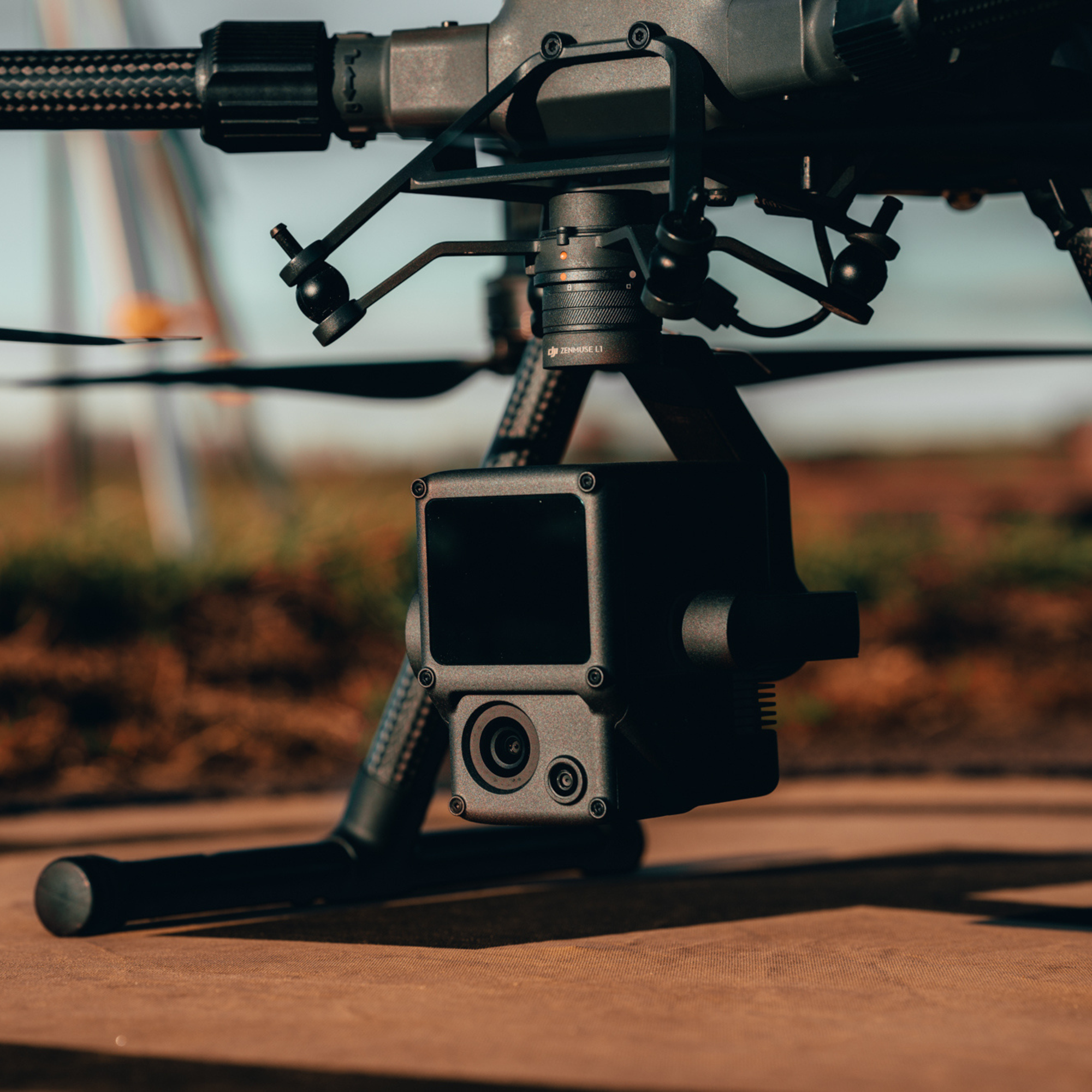
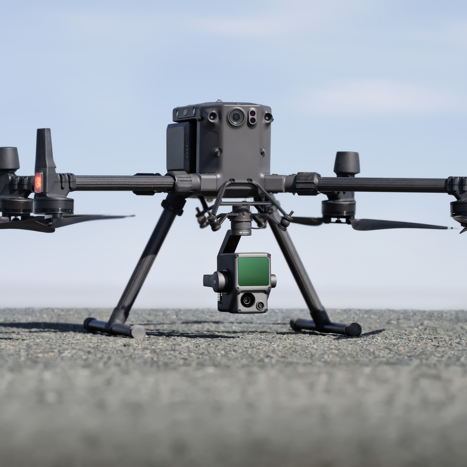
DJI Zenmuse L1 is a cost-effective and highly-efficient LiDAR payload, engineered for the DJI M350 RTK and DJI M300 RTK drones.
True-Colour Point Clouds With its Livox LiDAR sensor, high-precision IMU, and one-inch 20MP RGB camera with mechanical shutter, the L1 creates accurate true-colour point clouds.
In-house Survey Support Access advice from our geospatial specialists to help you maximise your L1 operations.
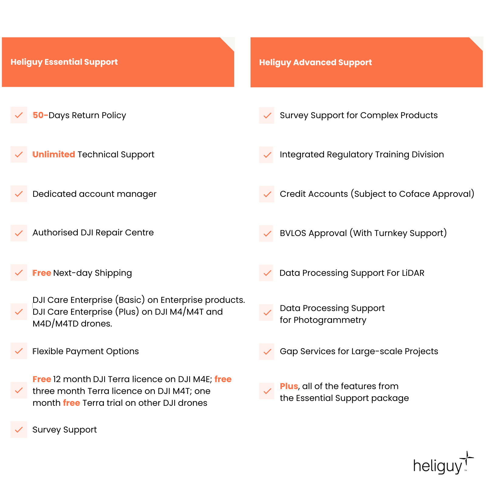
DJI Care Enterprise Included as standard, DJI Care Enterprise (Basic) entitles you to two replacements in the first year for a fee.
- Overview
- Contents
- Specifications
- Support
- FAQ
- Heliguy Services
One Payload, Two Cameras
LiDAR and RGB Data collection
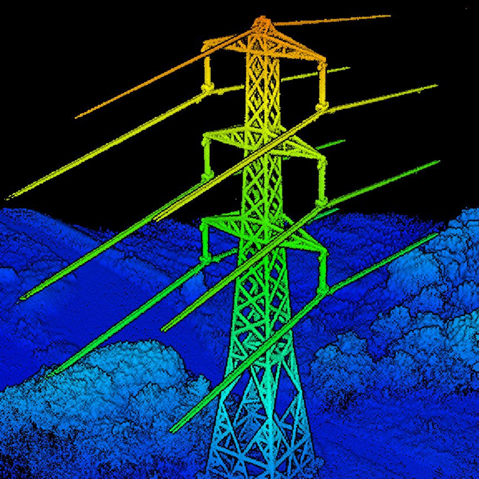
Comprehensive Imaging System: The Zenmuse L1 Combines the Livox LiDAR Module's high-precision point cloud capabilities with a 20MP RGB camera, providing detailed and accurate spatial data with effective detection, deep penetration, and high-quality imagery.
Livox LiDAR Module: Delivers up to 100% effective point cloud results with a 450m detection range and 240,000 points per second effective point cloud rate. Supports 3 returns and features both repetitive and non-repetitive scan modes for enhanced accuracy and deeper penetration.
RGB Camera: Equipped with a 20MP 1-inch sensor and a mechanical shutter for high-quality imaging and reduced motion blur.
Efficiency And Accuracy Combined
Detailed Reconstructions
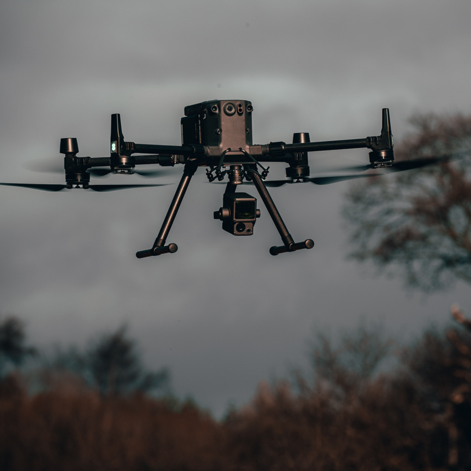
Exceptional Efficiency: Generate true-colour point cloud models in real-time or acquire 2km-squared of point cloud data in a single flight using the Livox frame LiDAR module with a 70° FOV and visible light camera with 1-inch sensor.
Unparalleled Accuracy: Render centimetre-accurate reconstructions thanks to the high-accuracy IMU, vision sensor for positioning accuracy, and incorporation of GNSS data.
Weather Resistant: With its IP54 rating, deploy L1 in rainy or foggy environments. The Lidar module's active scanning method enables night operations.
Accurate Details At Your Disposal
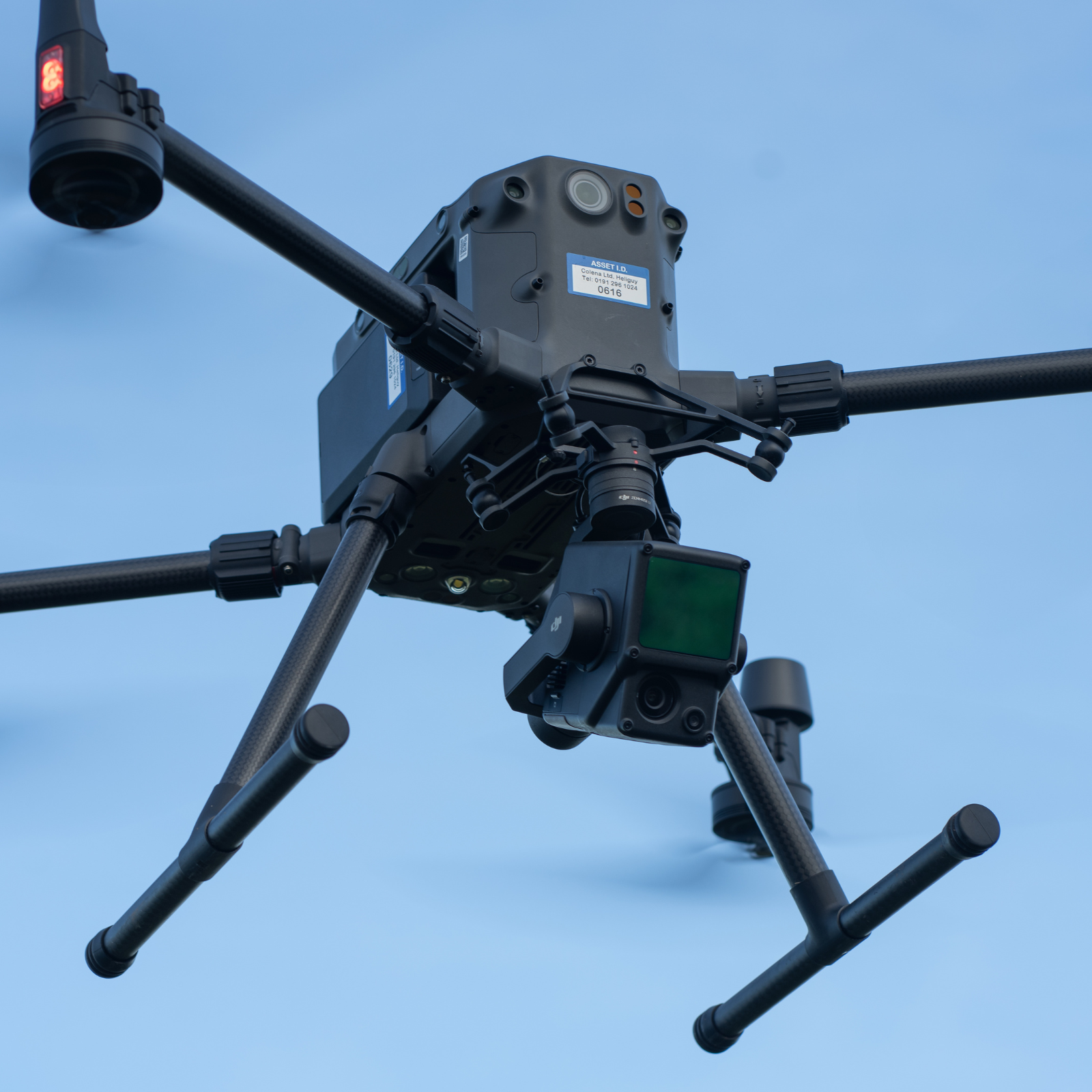
High-Accuracy IMU
The DJI Zenmuse L1 has a high-accuracy IMU that consists of:
Accuracy: 0.025° (roll/pitch) / 0.15° (yaw).
Vision Sensor: for positioning accuracy.
Data Fusion: GNSS, IMU, and RGB.
End-to-end Data Processing
Real-Time Point Cloud Generation
Point Cloud LiveView: Real-time point clouds provide immediate insights onsite. Verify fieldwork quality by checking the point cloud data after each flight.
Measurement and Annotation: Acquire and communicate critical dimensions on the point cloud model using measurements and annotations.
One-Stop Post-Processing: DJI Terra fuses the IMU and GNSS data for point cloud and visible light calculations, in addition to conducting POS data calculations.
L1 Applications
Valuable Insights for Multiple Use-Cases
Topographic Mapping: Quickly generate topographic maps using accurate digital elevation models.
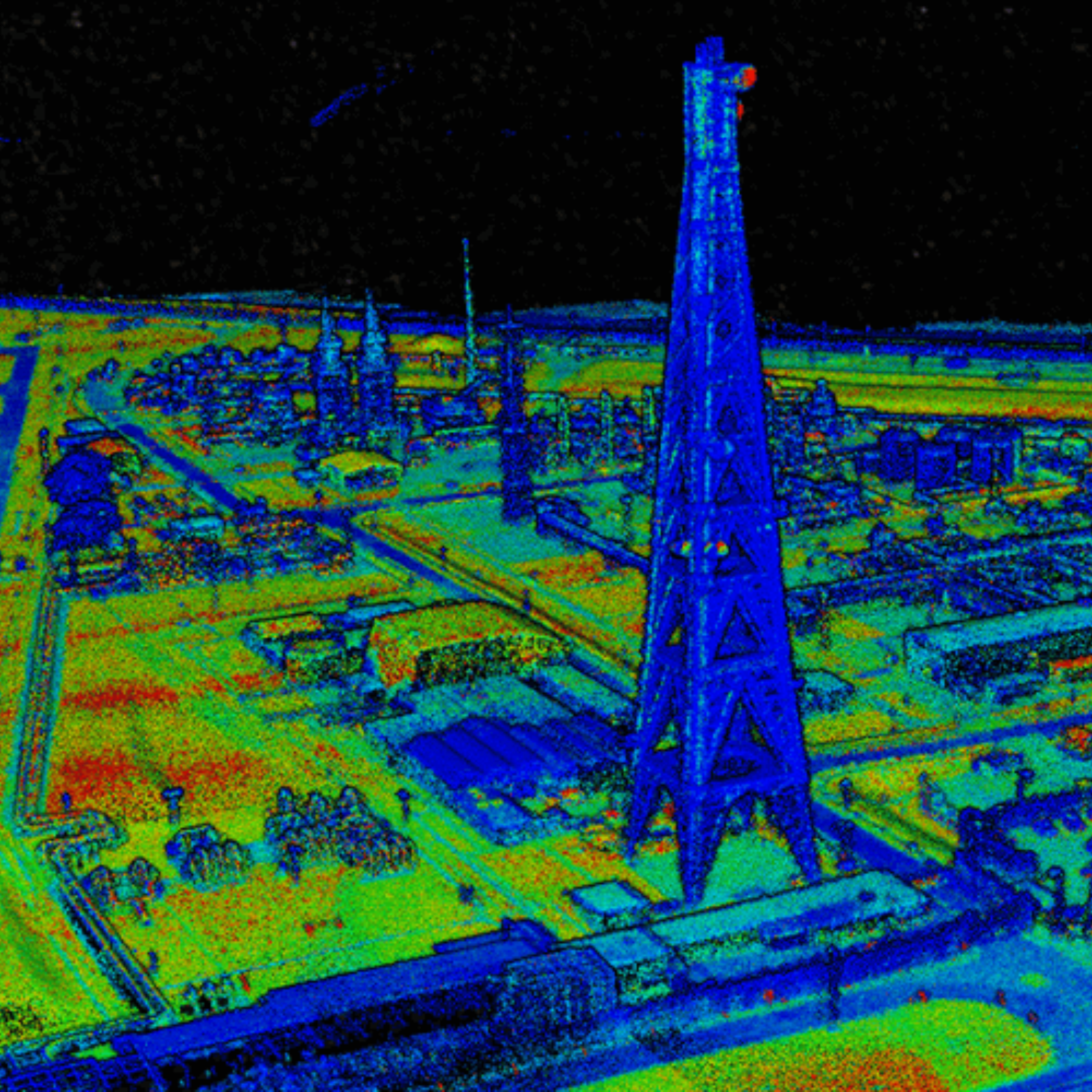
AEC and Surveying: Manage the full project lifecycle using highly accurate point clouds and 3D models.
Emergency Response/Law Enforcement: Gather critical insights and gain situational awareness any time of the day or night in real-time using true-color point clouds.
Energy and Infrastructure: Model sparse or complex structures in detail to manage them efficiently and safely.
Agriculture and Forestry Management: Gain insight into vegetation density, area, stock volume, canopy width, and growth trends.
Harness The Power Of The DJI Ecosystem
End-to-End Survey Workflows
DJI Ecosystem: Use the DJI ecosystem for an end-to-end LiDAR surveying workflow.
UAS Platform: DJI M300 RTK/M350 RTK drone and L1 payload.
Ground Control App: DJI Pilot (generate point clouds in real-time), connect your drone to a RTK network.
Post-Processing Software: DJI Terra (professional version or above).
Data Output: 3D point cloud in LAS format.
Accreditation

UK CAA Recognised Assessment Entity (RAE)
Authorised GVC/A2 CofC Training Courses

UK CAA Permission for BVLOS Flights: Operational Authorisation UAS 15435
Helping companies unlock BVLOS missions in an AAE with DJI Docks

The UK's only DJI Gold and S-Level Partner
Trusted supply on DJI products

ISO 9001 Certification
Driving industry standards through robust operational protocols for enhanced safety and reliability

Training Qualifications UK
Accredited training courses endorsed by TQUK.

Ofqual-regulated Training
Recognised quality mark for meeting accreditation criteria.

Cyber Essentials
Verified data security

Financial Conduct Authority
Authorised to conduct regulated financial services

Armed Forces Covenant Defence Employer Recognition Scheme - Silver Award
Proud supporter of our Armed Forces

D-U-N-S Registered: 77-916-1210
Verified to conduct international business
