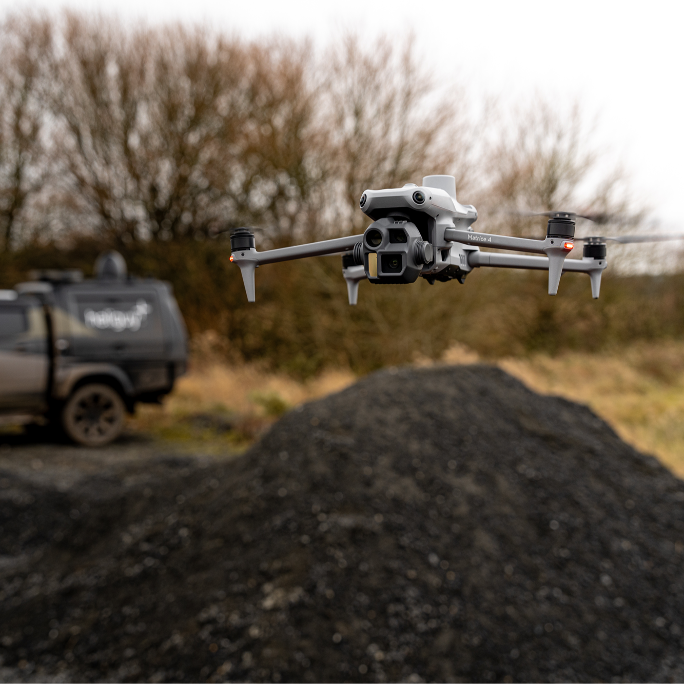
Next-gen compact surveying and inspection drone with dedicated mapping sensor, medium tele and tele cameras, laser rangefinder, and AI capabilities.
In The Box Comes with the drone, remote controller, one flight battery, charger and charging hub, microSD card, three pairs of propellers, and aircraft carrying case.
Build Your Bundle Add extras, such as additional flight batteries; the D-RTK 3 for high-precision positioning and relay; or the AL1 Spotlight/AS1 Speaker which can be used separately or together.
Add Training Receive support from our in-house instructor team. Provision includes online learning or face-to-face tuition for organisations training multiple pilots.
Dedicated Survey Assistance Leverage the support of our in-house survey team for end-to-end hardware/software assistance. DJI M4E also comes with a free one-year DJI Terra licence.
DJI Care Enterprise Complementary DJI Care Enterprise (Plus) cover for one year, enabling an unlimited number of repairs within the coverage period.
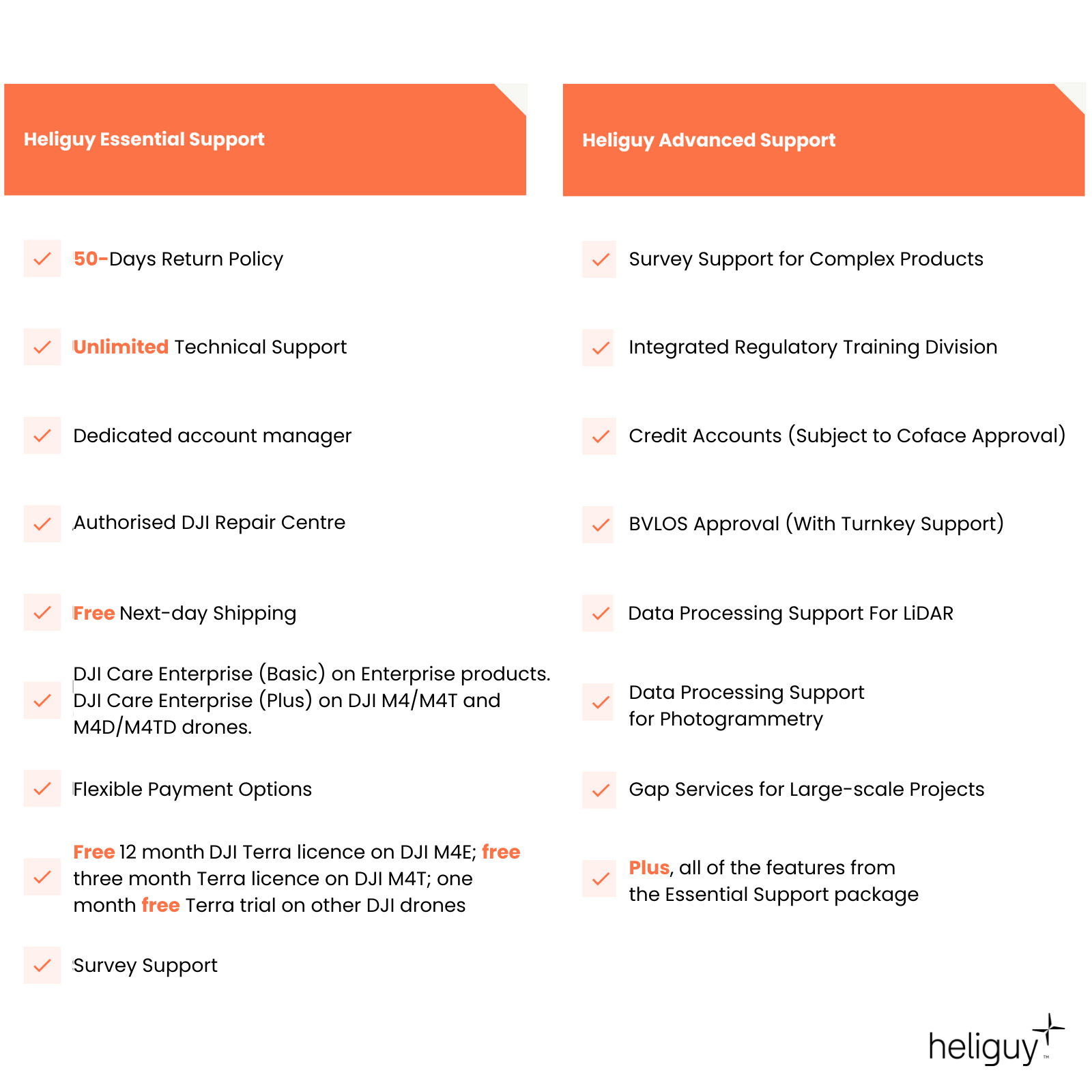
heliguy™ Support Services Heliguy Essential Support is included, providing a range of complementary services. For a wider support package, tailored to complex operations, choose the Advanced option.
Why heliguy™ Lifetime assistance and blanket access to our 35+ in-house team, including accredited technicians, consultants, regulatory specialists/UK SORA consultancy, training instructors, account managers, and solutions engineers.
- Overview
- Contents
- Specifications
- Support
- FAQ
- Heliguy Services
DJI Matrice 4E Key Features
Versatile enterprise drone
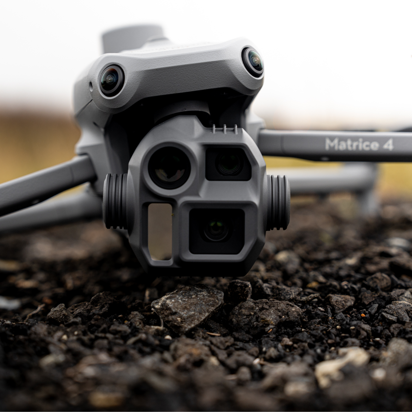
Integrated Four Module Payload: Wide-angle camera, 3x zoom and 7x zoom optical zoom lenses, and laser rangefinder.
High-precision Mapping: DJI M4E’s wide-angle camera has a 0.5-second shooting interval. The drone supports 5-directional oblique capture and 3-directional ortho capture for enhanced modelling.
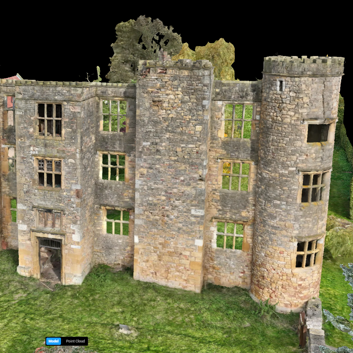
Smart 3D Capture: Improves the efficiency of 3D model acquisition of complex buildings.
AI Recognition Capabilities: AI algorithms recognise people, vehicles, and ships. It also supports custom subject detection models.
Enhanced Flight Safety: GNSS+Vision Integrated Positioning and Navigation System; Automatic Obstacle Data Acquisition; 5-Directional Vision Assist View.
Comprehensive Accessory Upgrades: Compatible with gimbal-following spotlight and real-time voice speaker; D-RTK 3 multifunctional station; and DJI RC Plus 2 Enterprise controller.
DJI Matrice 4E Payload
Flexible data collection for different mission scenarios
Wide: 4/3 CMOS, 20 MP, f/2.8-f/11, Equivalent Focal Length: 24 mm, Mechanical Shutter.
3× Zoom: 1/1.3 CMOS, 48 MP, f/2.8, Equivalent Focal Length: 70 mm
7× Zoom: 1/1.5 CMOS, 48 MP, f/2.8, Equivalent Focal Length: 168mm
Laser Range Finder: 1800m measurement range.
High- precision Mapping
Streamlined and accurate geospatial data collection
0.5-second Interval Shooting: The M4E wide-angle lens supports 0.5-seconds interval shooting in orthophoto and oblique photography modes.
5-Directional Oblique Capture: Matrice 4E supports a new 5-directional oblique capture, improving efficiency by 40% compared to Mavic 3 Enterprise.
3-Directional Ortho Capture: This feature reduces lateral overlap.
Smart 3D Capture: Create a rough model on the remote controller. Based on this, the drone quickly generates precise mapping routes close to a surface for detailed measurements and modelling of irregular buildings.
Enhanced Accuracy: Intelligent Map Distortion Correction 2.0 improves accuracy. Also combine with the new DJI D-RTK 3 mobile station for high-precision check point and control point information.
Crystal-clear Zoom
Enhanced image clarity from afar
3x Optical Telephoto Lens: Excels for medium-range inspection tasks. It can identify screws and cracks from a distance of 10 meters and clearly read instrument data at substations.
7x Telephoto Camera: With its 48MP resolution, this zoom camera is capable of capturing incredible details from signs up to 250 metres away.
Foreground Stabilisation: The upgraded telephoto stabilisation makes foreground subjects stable and clear during telephoto shooting at 10x zoom or more.
Electronic Dehazing: In environments with fog, haze, or high humidity, Electronic Dehazing can improve the imaging clarity to match different environments and requirements.
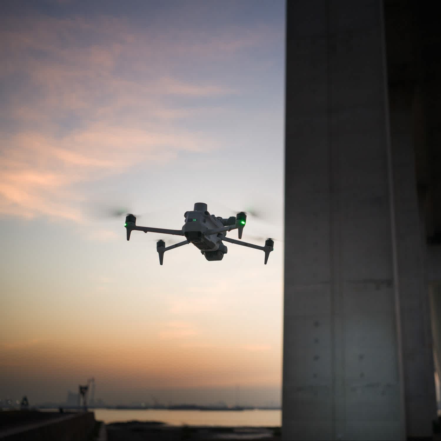
New Smart Features
Improve operational efficiency
AI Recognition: The built-in AI model can identify vehicles, vessels, and subjects during search and rescue operations or routine flights. It also supports switching to other models, enabling the expansion of AI application scenarios.
Observation Range Recording: DJI Pilot 2 supports recording the ground area that has been viewed by the camera and the centre position of the frame, and can display the operated area on the map. It is especially suitable for security searches and mountain searches.
Built-in Laser Rangefinder: Enables real-time measurements, with a 1,800m range. Conduct point marking, line drawing, and area calculation for tasks like marking target locations for security purposes or calculating the area of a wildfire.
Enhanced Low-light Performance: Matrice 4E has a large aperture and intelligent low-light capabilities, enhancing operations during dusk and nighttime. It also features six HD low-light fisheye lenses to enhance visual low-light positioning and obstacle avoidance capabilities.

Enhanced Flight Safety
Fly with confidence
Integrated Positioning: The GNSS+ Vision Integrated Positioning and Navigation System enables the return-to-home point to be updated through visual positioning. This allows take-off within 15 seconds. Complete the RTH process even without GNSS signals.
Intelligent Escort: When the remote controller is connected to the internet, it loads terrain obstacle details and preloads detailed offline maps. 5-directional vision assist and downward vision provides comprehensive visibility.
DJI O4 Enterprise Image Transmission: Incorporates an 8-antenna system with adaptive selection. Paired with the RC’s high-gain receiving antenna, this setup achieves strong transmission and a download bandwidth of up to 20MB/s.
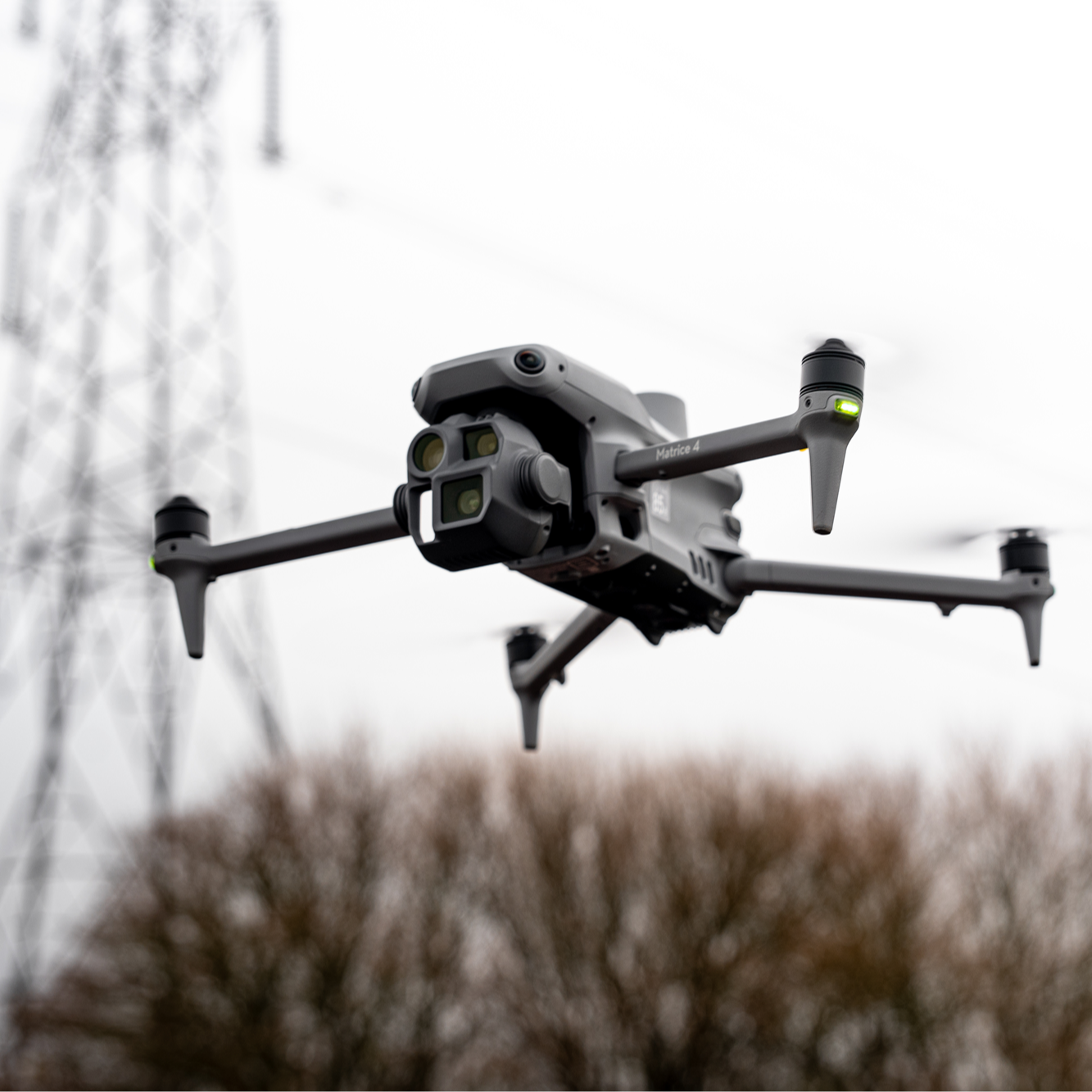
Upgraded Accessories
Take your flights further
DJI RC Plus 2 Enterprise: This IP54-rated controller has a new high-brightness screen. It supports the O4 Enterprise image transmission system, plus SDR and 4G hybrid transmission solutions.
Gimbal-following Spotlight And Real-time Speaker: Use the spotlight and speaker independently or in combination. Spotlight illuminates subjects from 100m and supports two modes: Always-on and strobe. The speaker has a broadcast range of 300m and supports recorded messages, media imports, and text-to-speech conversation,
High-precision D-RTK 3 Multifunctional Station: Enables centimetre-level high-precision positioning for drones. Use as a mobile station for precision check/control point information, and enhance image transmission distance when deployed at high altitudes.
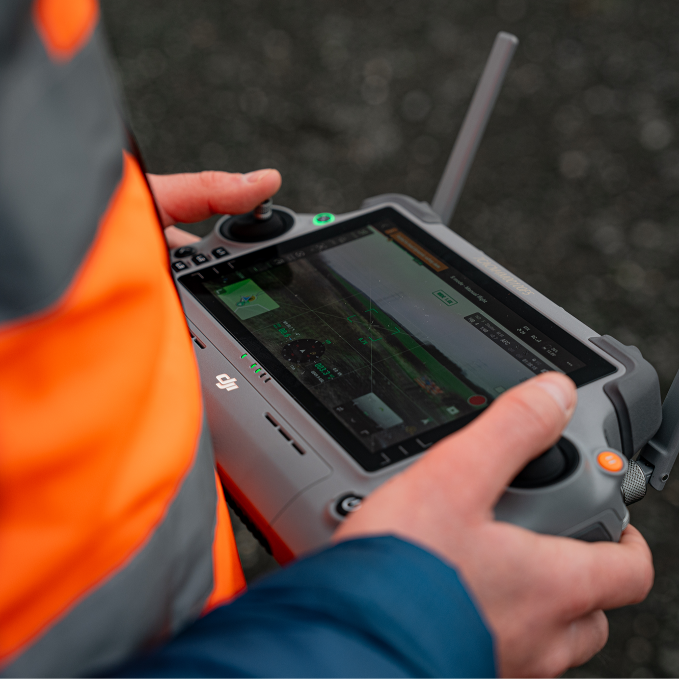
DJI Care Enterprise Plus
Comprehensive protection
The DJI Matrice 4D and Matrice 4TD drones come with a complementary one-year period of DJI Care Enterprise Plus cover.
This service starts with activation.
This protection plan includes:
Free Repairs: Unlimited number of free repairs within the coverage limit.
Flyaway Coverage: 1 time/year, worry-free operation.
Free Shipping: Free mail-in repairs.
After the first year of complementary cover expires, renewal is required (fee applies).
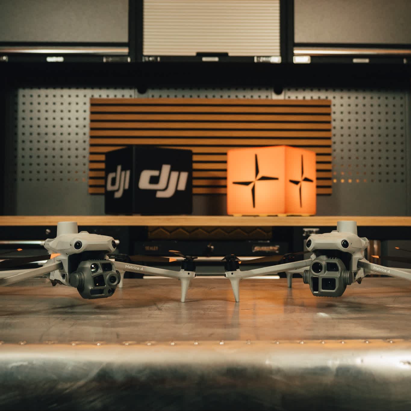
DJI Matrice 4E: Recommended Extras
Complete your purchase with...
Related Posts
Learn more with our in-depth industry content
Accreditation
![UK CAA Recognised Assessment Entity (RAE)]()
UK CAA Recognised Assessment Entity (RAE)
Authorised GVC/A2 CofC Training Courses
![UK CAA Permission for BVLOS Flights: Operational Authorisation UAS 15435]()
UK CAA Permission for BVLOS Flights: Operational Authorisation UAS 15435
Helping companies unlock BVLOS missions in an AAE with DJI Docks
![The UK's only DJI Gold and S-Level Partner]()
The UK's only DJI Gold and S-Level Partner
Trusted supply on DJI products
![ISO 9001 Certification]()
ISO 9001 Certification
Driving industry standards through robust operational protocols for enhanced safety and reliability
![Training Qualifications UK]()
Training Qualifications UK
Accredited training courses endorsed by TQUK.
![Ofqual-regulated Training]()
Ofqual-regulated Training
Recognised quality mark for meeting accreditation criteria.
![Cyber Essentials]()
Cyber Essentials
Verified data security
![Financial Conduct Authority]()
Financial Conduct Authority
Authorised to conduct regulated financial services
![Armed Forces Covenant Defence Employer Recognition Scheme - Silver Award]()
Armed Forces Covenant Defence Employer Recognition Scheme - Silver Award
Proud supporter of our Armed Forces
![D-U-N-S Registered: 77-916-1210]()
D-U-N-S Registered: 77-916-1210
Verified to conduct international business
