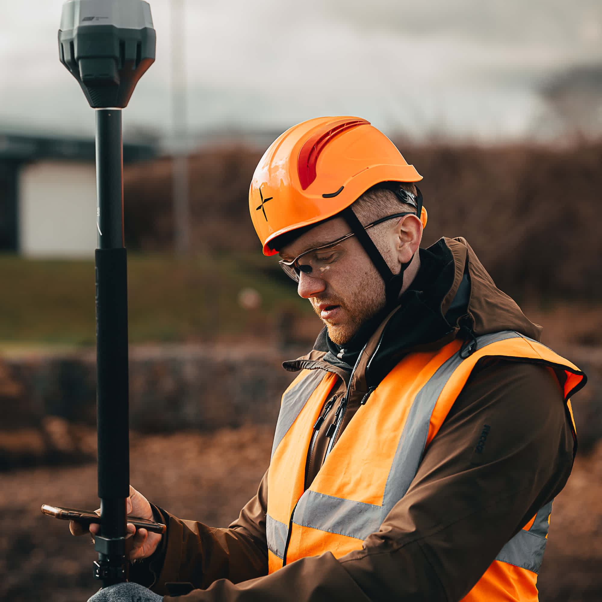
GNSS Receivers
Guaranteed precision during every survey
Pinpoint accuracy for precise positioning
Explore a product ecosystem to find the right solution for you
Verified Accuracy
Obtain precise and accurate positioning data over large areas.
Versatile Workflows
Deploy GNSS technology for land surveys and drone mapping.
Industry-leading Solutions
heliguy™ stocks industry-leading GNSS solutions from Emlid and DJI.
High-precision GNSS Receivers
Guaranted accuracy. Increased productivity.
Ensure the accuracy of your surveys with high-precision GNSS receivers.
These devices leverage radio signals from satellites to determine position and provide invaluable location information.
Integrate GNSS receivers into your surveying workflows to create accurate 3D datasets and measure the position of precise points on the ground.
GNSS receivers benefit a range of industries, including construction, topographical mapping, archeology, mining, and environmental monitoring.
heliguy™ stocks GNSS receivers, including industry-leading solutions from Emlid.

Emlid High-precision GNSS Receivers
Accuracy - even in challenging environments
heliguy™ has partnered with Emlid to offer its range of cost-effective and high-precision GNSS receivers with RTK technology for advanced GPS surveying.
Emlid’s out-of-the-box solutions are designed for experienced and beginner surveyors. They benefit a range of survey workflows, including drone mapping.
Emlid has a complementary software suite, including Emlid Flow for creating and managing survey projects, and Emlid Studio for post-processing.

Supported by industry leading solutions
Our equipment, expertise, and support will ensure success for your undertaking
Frequently Asked Questions
What is the difference between GNSS and GPS?


