Drones For Surveying
Optimise workflows with accurate geospatial data
Supercharge Your Surveys With Drones
Enhanced efficiency, improved safety, increased ROI
Geospatial Precision
Collect high-resolution imagery with survey-grade precision and accuracy.
Safe And Efficient Data Capture
Navigate challenging environments to capture data safely and efficiently.
Transformational Insights
Real-time data capture to optimise project management and oversight.
Empower Your Surveys With Drone Technology
Leverage the value of digital data
Harness the power of drones to collect accurate survey data safer, faster, and more cost-effectively.
Build precise maps and models in near-real-time for enhanced visualisation and informed decision-making throughout project lifecycles.
Centralise these digital assets for remote monitoring and streamlined collaboration with staff and stakeholders.
Use drone data to identify problems, monitor change, manage and respond to events, perform forecasting, set priorities, and understand trends.
Drone surveys benefit AEC, mining, agriculture, urban planning, land management, and public safety.
Leverage the heliguy™ in-house surveying department to integrate drones into your workflows through consultancy, supply, training, and lifetime support.

Photogrammetry
Photorealistic reconstruction
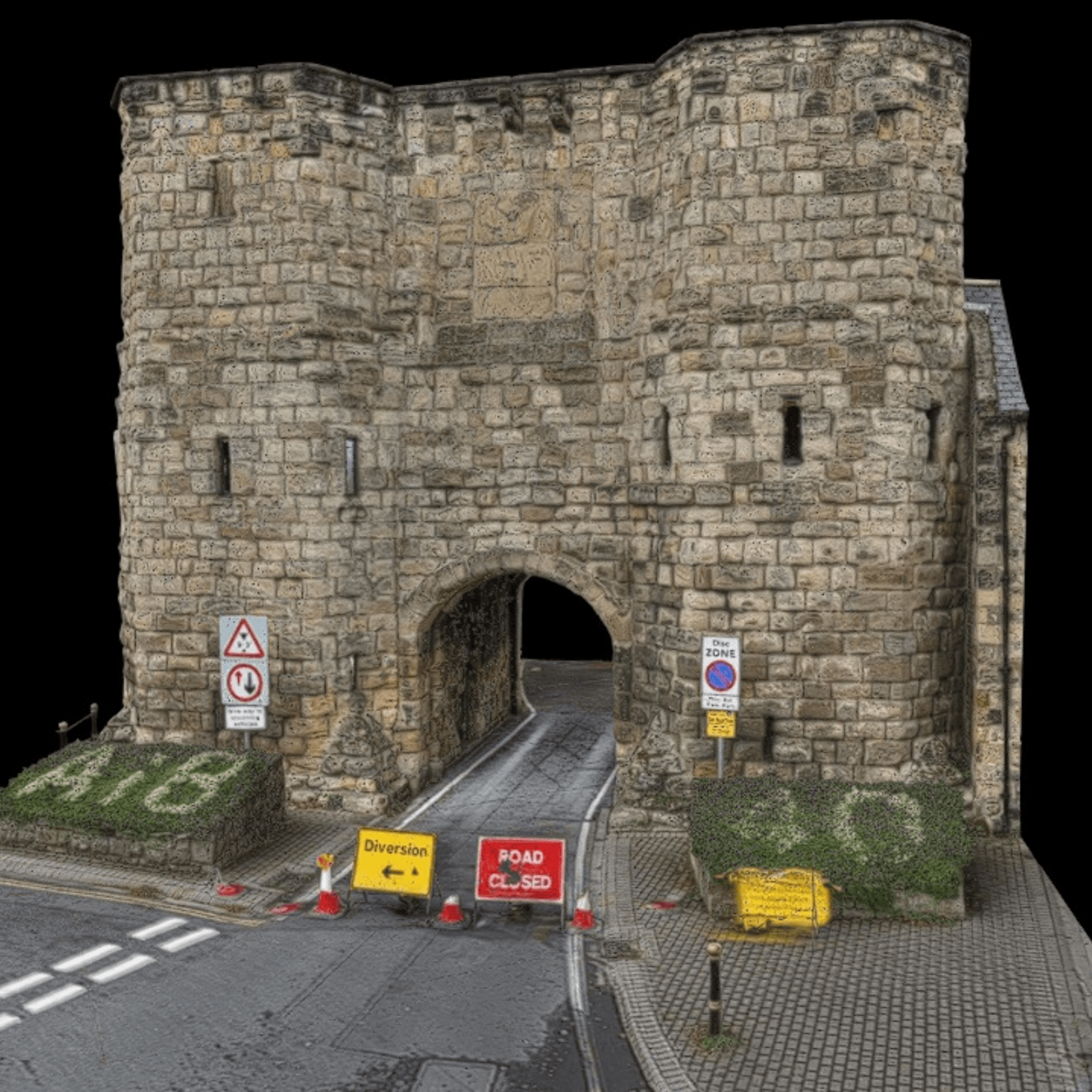
Create photorealistic and centimetre-accurate 3D models and 2D maps with drone photogrammetry. These interactive, georeferenced digital assets provide lifelike visualisation for progress tracking, calculations and measurements, site planning, and asset management. Photogrammetry datasets benefit a range of industries, including AEC, utilities, and public safety.

LiDAR
Enhanced object detection and penetration
LiDAR is a precise drone survey technique, creating detailed point clouds in challenging environments, like low-light scenarios or in areas of dense vegetation. Its ability to penetrate obstacles makes it perfect for accurate elevation data and terrain modelling, and it excels at capturing fine details. LiDAR is a powerful solution for forestry, land surveying, and utilties and infrastructure management.

Multispectral
See the unseen
Drone multispectral surveying benefits precision agriculture, land management, forestry, and environmental monitoring. It extracts information beyond which the human eye or standard industrial vision cameras can capture. This data provides deep, accurate and more timely insights to help identify problems, such as vegetation stress, nutrient deficiencies, land cover, pest damage, or disease.
Supported by industry leading solutions
Our equipment, expertise, and support will ensure success for your undertaking
Frequently Asked Questions
How can your organisation benefit from heliguy™ drone surveying services?

What sets heliguy™'s drone surveying services apart?

How does heliguy™'s team expertise impact the quality of survey data?

Software is a major part of drone surveying. How can heliguy™ assist me with drone survey software?

Can the heliguy™ survey team provide customised solutions for unique project requirements?

How does the heliguy™ survey department stay updated with the latest technological advancements?

What are the benefits of using a drone for surveying?

What is the difference between traditional surveying and drone surveying?

What deliverables can be achieved from using a drone for mapping?

Do I need a drone licence to conduct a drone survey?

How accurate is a drone survey?


