Drone Survey Training Courses
Develop best practises for geospatial data collection
heliguy™ Drone Survey Training Courses
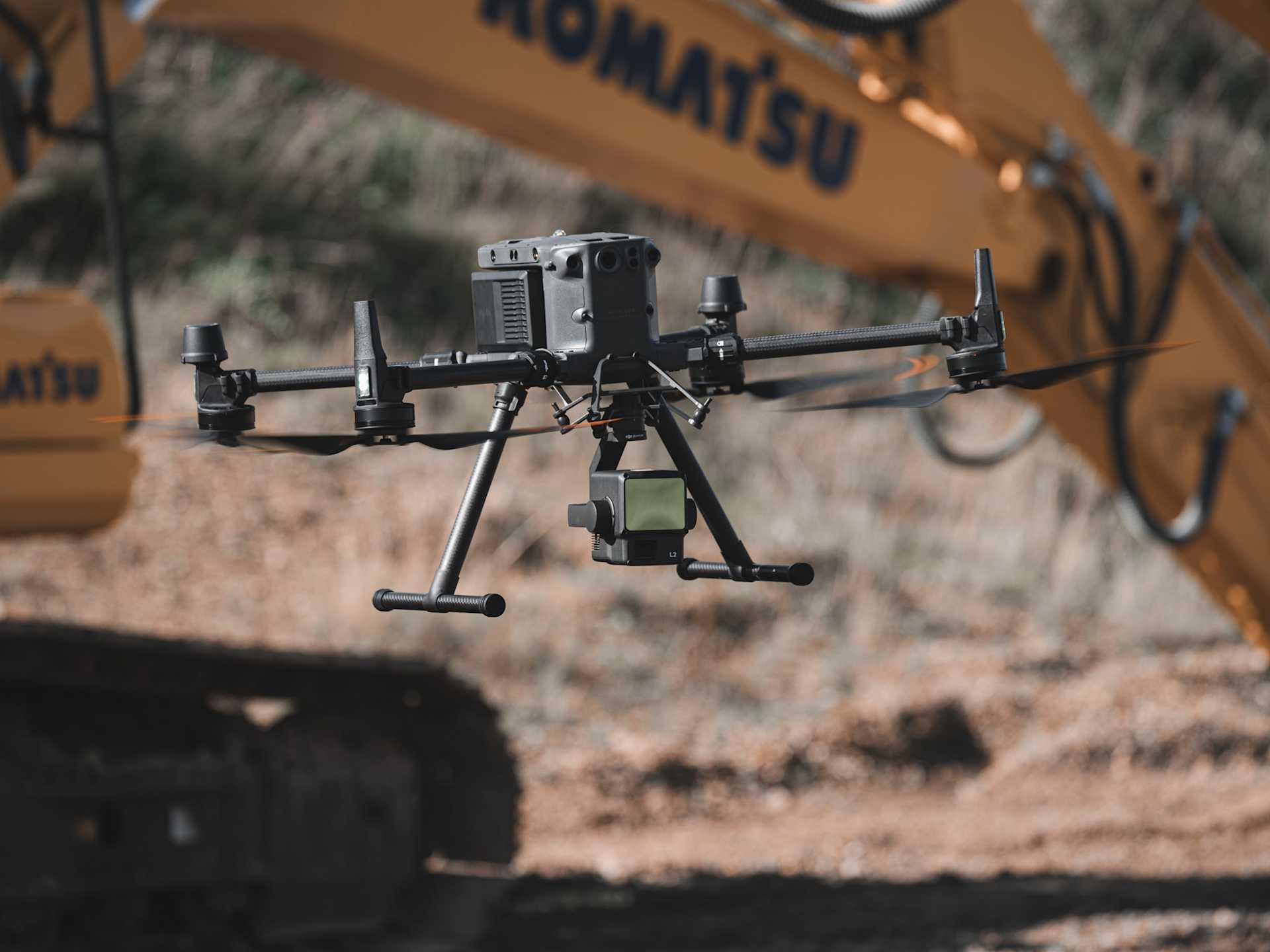
heliguy™ drone survey training helps you realise the potential of aerial mapping to maximise ROI and increase safety on your job site. Our series of courses, prepared by our in-house GIS specialists and training team, will teach you best practises for enhanced data capture and post-processing.
heliguy™ Drone Survey Training Course
This course is dedicated to photogrammetry and LiDAR surveying workflows with DJI drones.
Receive comprehensive, instructor-led training from our geospatial specialists at a location of your choice.
The syllabus includes:
Mission planning and best data capture practises.
GNSS, NTRIP, base stations, rovers, and GCPs.
Data processing, cleaning, and analysis, and data outputs.
The course is aimed at enterprise programmes that have recently adopted surveying drones. It comprises theory learning and practical flight training.
View Drone Survey Training Course.

Drone Assistive Programme
The Drone Assistive Programme is a hybrid training model enabling organisations to start and scale their surveying capability.
Our geospatial team will conduct training at your site or asset. This is beneficial for:
Real-world Data Collection: On-site hands-on mentorship, teaching you how to gather real-world data with drone survey solutions, including data processing support.
Proof of Concept: Enables organisations to see the equipment in action and evaluate more complex data workflows before committing to the hardware. This removes the risk and accelerates drone adoption.
L1 LiDAR Workflow Course
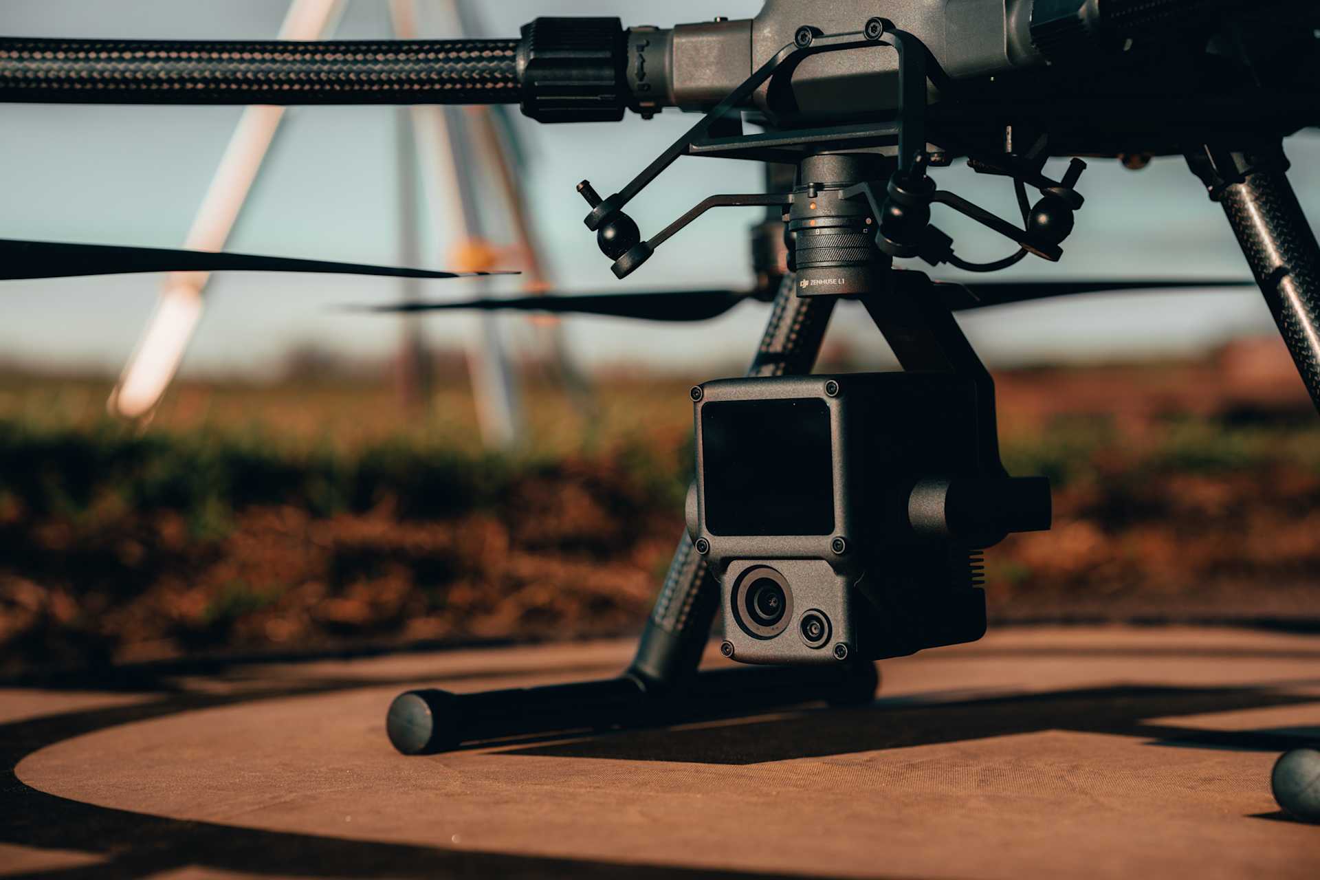
Free-to-watch online course for the L1 LiDAR and photogrammetry payload. It features more than two hours of video content, including on-screen demonstrations. A course handbook is also available.
Content includes:
Workflows for obtaining positional corrections;
Assembly and connection to the DJI D-RTK 2 Base Station;
IMU calibration and best L1 parameters;
Mission Deployment: Topographical surveying, oblique scanning, corridor mapping and terrain follow;
Employing ground control for LiDAR data sets;
Post-processing in DJI Terra and TerraSolid, including classification.
This course was created by heliguy™ and subsequently endorsed by DJI, who purchased the licence to share to a global audience.
View the free DJI Zenmuse L1 Workflow Course here.
